
Archive

Bengaluru Firm Partners with ISRO to Develop AI for Marine Pollution Detection
Bengaluru-based AlphaMers Ltd. has joined forces with the Indian Space Research Organisation (ISRO) to create an advanced Artificial Intelligence (AI) model aimed at marine pollution detection. This collaboration focuses on
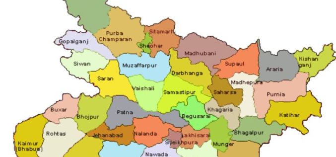
Boosting Revenue with GIS-based Cess Collection in Bihar
The Bihar government is implementing a GIS-based cess collection system to cover all construction activities, whether government, commercial, or private, across the state. This innovative approach, led by the state’s

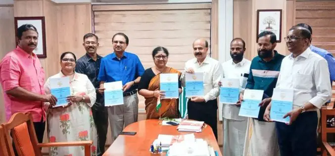
Purana Qila LiDAR Survey to Guide ASI’s New Excavation in Search of Indraprastha
The Archaeological Survey of India (ASI) is set to resume its excavation efforts at Purana Qila, one of Delhi’s most significant archaeological sites, in search of evidence related to Indraprastha,
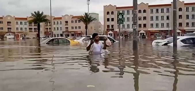
Oman Begins Comprehensive Flood Risk Mapping to Enhance Safety
Oman is initiating a major project focused on Flood Risk Mapping across the country. The Ministry of Agriculture, Fisheries, and Water Resources has engaged a specialized company to lead this

The Impact of Automation on APIs
Automation has long been seen as essential in enterprise technology environments with large datasets and complex systems, and automation continues to gain ground across numerous areas. One area being Application

Brinda Kashyap Earns UNESCO MAB Young Scientist Award for Rhino Protection
In a significant achievement for India, Brinda Kashyap, a young scientist from Guwahati, Assam, has been honored with the prestigious UNESCO MAB (Man and Biosphere) Young Scientist Award. This award

Japan’s AI-Powered Navigation Aims to Save Lives from Wrong-Way Drivers
In a groundbreaking move to enhance road safety, Japan’s Ministry of Land, Infrastructure, Transport, and Tourism (MLIT) is set to introduce advanced AI-powered navigation systems to curb wrong-way driving on
Kerala University Launches SLIP-K App for Landslip Hazard Prediction
In a significant advancement for disaster prevention, Higher Education Minister R. Bindu recently launched the SLIP-K (Slope Instability Predictor-Kerala) mobile application in Thiruvananthapuram. Developed by Sajin Kumar K.S., Assistant Professor
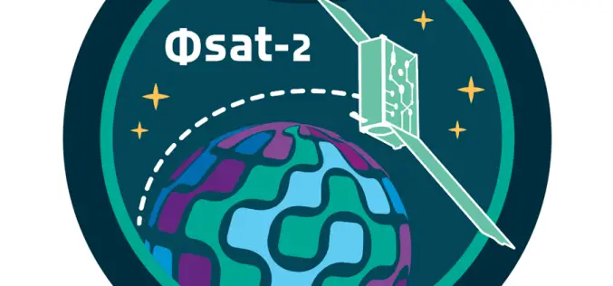
ESA Unveils AI-Powered Satellite for Earth Observation
The European Space Agency (ESA) launched Phsat-2/Φsat-2, an AI-powered satellite for remote sensing, on August 16, 2024, from Vandenberg Space Force Base, California. This AI-powered satellite represents a leap forward
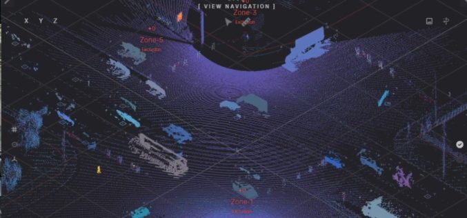
LiDAR in Traffic Management: UDOT’s Plan for Safer Intersections
The Utah Department of Transportation (UDOT) is spearheading an innovative project that leverages LiDAR in traffic management to enhance safety and efficiency at key intersections. Launched in March 2024, this
