Business
Boundless Launches GIS Products Based on Open-Source, Data-Rich Future
Boundless is betting that open source, non-proprietary and license-free is the future of the geographic information systems (GIS) market. It’s a bet wagered in the form of dual product launches this
OGC Seeks Public Comment on a Proposed Work Item for Indexed 3D Scene Layers as a Community Standard Work Item
The Open Geospatial Consortium (OGC®) is considering start of a new work item for a Community Standard: Indexed 3D Scene Layers (I3S). The public is requested to comment on this
ESA and SAP Launch New Service For Analysing Satellite Data
ESA and the software company SAP have announced the Earth Observation Analysis service for the quick, easy consumption of Earth observation satellite data according to customer needs. Powered by SAP’s
Esri Publishes New Edition of Map Use: Reading, Analysis, Interpretation
Redlands, California—Esri, the global leader in smart mapping, has published Map Use: Reading, Analysis, Interpretation, eighth edition. Esri president Jack Dangermond called the 650-page textbook “a comprehensive primer for using
DigitalGlobe Announces the Successful Launch of WorldView-4 – Doubles DigitalGlobe’s Earth Imaging Capacity
WESTMINSTER, Colo.–(BUSINESS WIRE)–DigitalGlobe, Inc. (NYSE: DGI), the global leader in earth imagery and information about our changing planet, today announced the successful launch of WorldView-4, the company’s newest high-accuracy, high-resolution
American Digital Cartography Release of WorldMap Digital Atlas v7.3.
Appleton, WI-USA – American Digital Cartography, Inc., a leader in providing comprehensive, current, and seamless geographic digital data for the whole Earth, is pleased to announce the release of ADC
Leica Geosystems Acquires M&P Survey in the UK
In March 2016, Hexagon Geosystems, business division of Hexagon including Leica Geosystems, acquired M&P Survey Equipment Limited – one of the UK’s leading Leica Geosystems distributors. Since then, Hexagon Geosystems
Trimble’s New SketchUp Viewer for Microsoft HoloLens Enables Users to Inhabit and Experience Designs
SketchUp with Mixed Reality Ushers in New Paradigm: Experiential Design Review LAS VEGAS, Nov. 7, 2016—Trimble (NASDAQ:TRMB) launched today its SketchUp Viewer for Microsoft HoloLens. The new mixed-reality solution allows
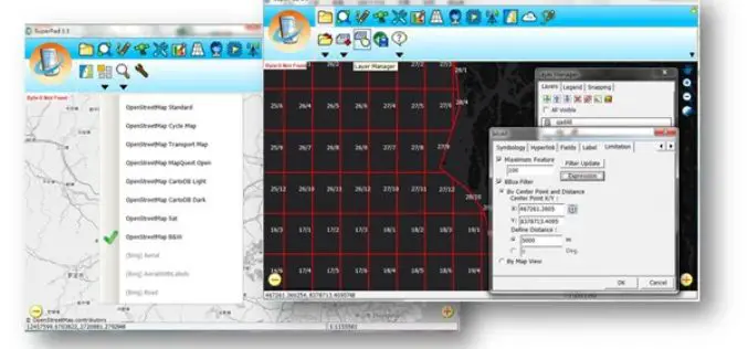
Collect High-Precision Data in the Field with latest SuperPad 3.3!
The global leading GIS software and solution provider, Supergeo Technologies Inc., is pleased to announce the latest release of SuperPad 3.3.4797. SuperPad is the mobile GIS software designed for surveying
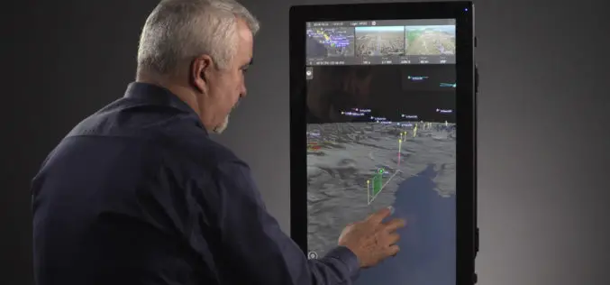
Kongsberg Geospatial & AirMap Deliver Real-Time Airspace Awareness and Tools for Drone Flight Beyond Visual Line of Sight
Ottawa, CA: Kongsberg Geospatial, an Ottawa-based developer of real-time, mission critical, geospatial visualisation software, and AirMap, the leading airspace management platform for drones, announced today that they will be delivering


