

Business
Ordnance Survey International Helps the UAE Manage Climate Change
Ordnance Survey International and Deimos Space UK are to work with the Mohammed bin Rashid Space Centre in Dubai to help the United Arab Emirates (UAE) improve how it plans and
OGC Calls for Participation in Major Innovation Testbed (Testbed 13)
Wednesday, 25 January 2017 – The Open Geospatial Consortium (OGC®) invites interested organizations to respond to the just released Call for Participation (CFP) in the OGC Testbed 13 Interoperability Testbed. Organizations

NOAA Releases First GOES-16 Image from Harris Corporation-Built Imager and Ground System
Imager and ground system increase resolution and speed Ground system will process more data than all current GOES satellites combined Advancements will improve weather forecasting for U.S. government MELBOURNE, Fla.
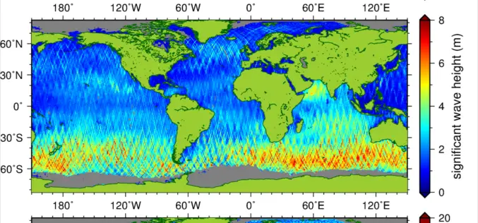
New Suite of Products Available For SRAL Instrument on the Copernicus Sentinel-3a Satellite
The Synthetic Aperture Radar Altimeter (SRAL) instrument on board Sentinel-3A delivers accurate measurements of sea surface height, significant wave height and surface wind speeds over the world’s oceans for Copernicus
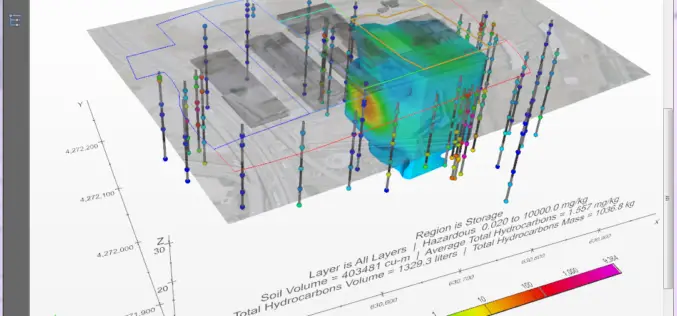
PDF3D Provides Access to the Fourth Dimension in C Tech’s New 4D Visualisation Tool
In the latest major release, C Tech Development Corporation (CTECH) announced Earth Volumetric Studio, a rich modular environment with embedded 4D PDF generation based on PDF3D systems. The latest offering
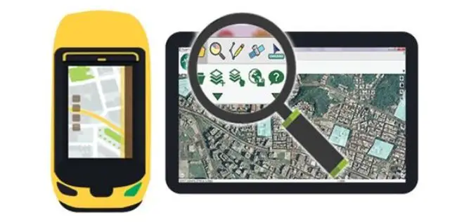
SuperPad 10 – A Revolution in Spatial Data Collection
Supergeo Technologies Inc. is going to unveil a brand-new version of its one of most popular GIS software in field surveying – SuperPad 10 before the end of January 2017.

HazardHub Democratizes Hazard Risk Data with New API
For the first time, geographic risk data is available via a real-time API for inclusion to clients’ internal systems. San Diego, CA (PRWEB) January 17, 2017 – HazardHub, the nation’s first

INSPIRE WCS Adopted
Last month INSPIRE officially adopted the OGC Web Coverage Service (WCS) as INSPIRE Coverage Download Service. Jordi Escriu, Facilitator of the corresponding Thematic Cluster 3, calls “WCS the natural way
The Excellent Helper for Processing Spatial Data—SuperGIS Desktop
As people get more dependent on making use of spatial information in our daily lives, it appears to be even more important to think about how to manage and share

AGI and Bentley Systems Announce Cesium Consortium
Bentley Systems Joins the Creators of Cesium to Accelerate Open-Source Development for Cesium’s Virtual Globe Technology EXTON, Pa., U.S.A. – Analytical Graphics Inc. (AGI) and Bentley Systems are pleased to
