

Business
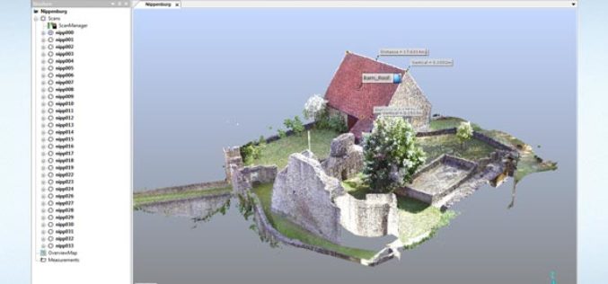
FARO Releases SCENE Version 6.1, Introducing a Fully Integrated Point Cloud to 3D Mesh Engine for Product Design and Construction BIM-CIM Professionals
Lake Mary, FL, September 6, 2016, 2016 – FARO (NASDAQ:FARO), the world’s most trusted source for 3D measurement and imaging solutions for factory metrology, product design, construction BIM/CIM, public safety
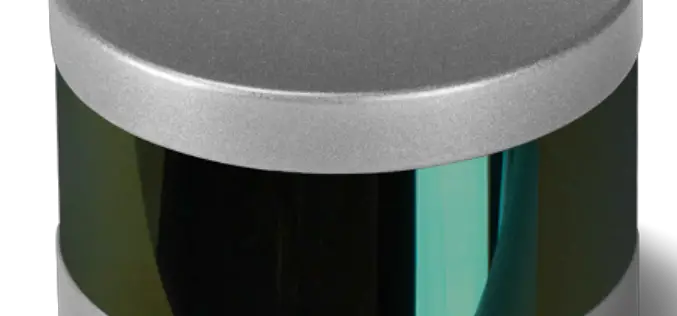
Velodyne LiDAR Announces Puck Hi-Res LiDAR Sensor
Velodyne LiDAR Announces Puck Hi-Res LiDAR Sensor, Offering Higher Resolution to Identify Objects at Greater Distances Expanding on Velodyne LiDAR’s groundbreaking VLP-16 Puck, a 16-channel, real-time 3D LiDAR sensor that weighs
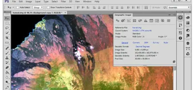
Avenza Releases Geographic Imager 5.1 for Adobe Photoshop
GeoPackage now a supported format Toronto, ON, September 13, 2016 – Avenza Systems Inc., producers of the Avenza Maps app for mobile devices and geospatial plug-ins for Adobe Creative Cloud,
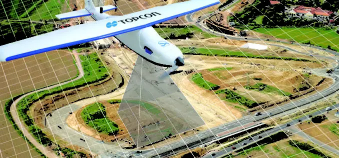
Topcon Announces Enhancements to UAS Packages
LIVERMORE, Calif., USA/ CAPELLE A/D IJSSEL, The Netherlands – September 13, 2016 – Topcon Positioning Group announces the release of two new mapping kits for its Sirius Pro fixed-wing unmanned
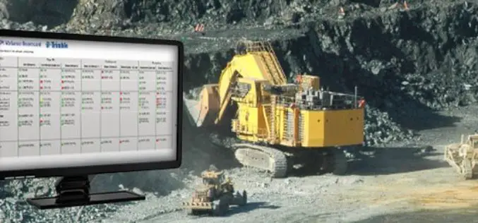
Trimble Connected Mine Provides Spatial Data Visualization Using Trimble and Microsoft Mixed-Reality Technologies
Trimble Provides a Single Source of Data Across the Mine Enterprise SUNNYVALE, Calif., Sept. 13, 2016—Trimble (NASDAQ:TRMB) announced today the release of its Trimble® Connected Mine™ Visual Intelligence module with

The United Nations Foundation’s Nothing But Nets Campaign Partners with Esri to Combat Malaria
Organizations Team Up to Raise Awareness, Funds, and Voices against the Preventable Disease Redlands, California (Sep. 09, 2016)—Global smart-mapping leader Esri has partnered with the United Nations Foundation’sNothing But Nets
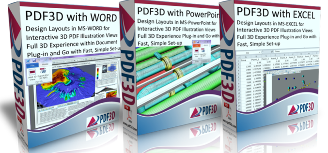
PDF3D Releases Microsoft OFFICE Enhancements with 3D Plugins
New plugins from PDF3D allow Microsoft Office users to enhance documents by adding interactive 3D images at the click of a button. London, UK, September 9th, 2016 – PDF3D, the
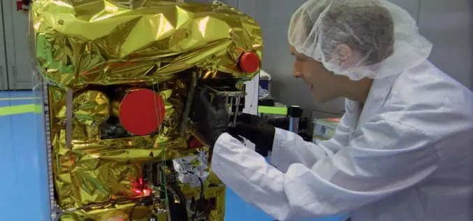
DLR Fire Detection Satellite BIROS Successfully Releases BEESAT-4 Picosatellite into Space
On 9 September 2016 at 13:00 CEST, the BIROS (Bi-Spectral Infrared Optical System) fire detection satellite developed and built by the German Aerospace Center (Deutsches Zentrum für Luft- und Raumfahrt;
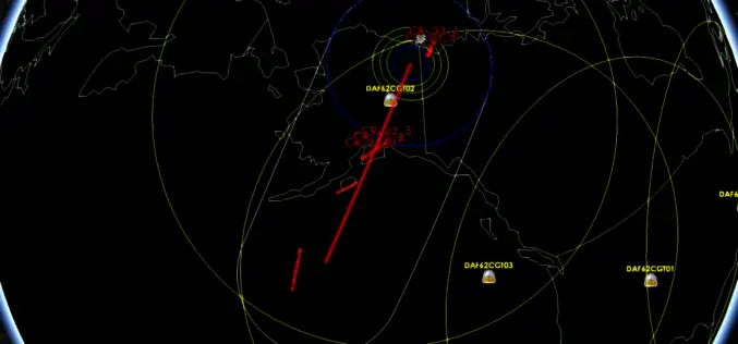
Orbit Logic Adds Worldview-4 to DigitalGlobe Planning Software
GREENBELT, MD (September 7, 2016) – Orbit Logic announced today that it is delivering to DigitalGlobe, Inc. (NYSE: DGI), an updated version of its Direct Access Facility Collection Planning System
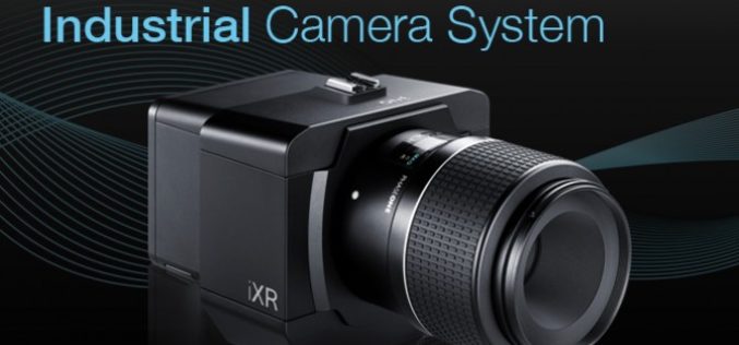
Phase One Industrial Innovates Four Band Aerial Imaging
Enables Automated Four Band Imaging to 100MP for Specialized Applications COPENHAGEN, September 6, 2016 ― Phase One Industrial has today introduced the Phase One 4-Band Solution. The solution incorporates an
