

Business
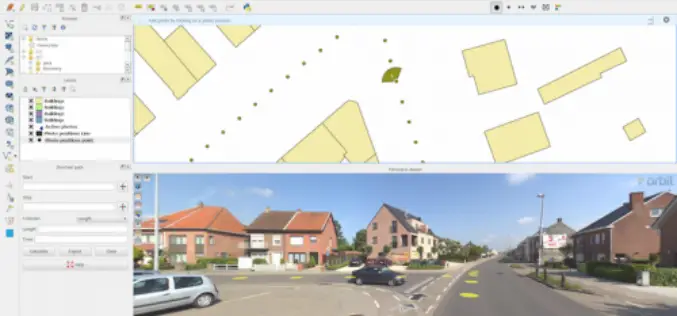
Orbit GT Launches QGIS Plugin for Mobile Mapping
Orbit GeoSpatial Technologies is pleased to announce the launch of the Mobile Mapping plugin for QGIS. “We’re pleased to announce that from today, every QGIS user now has access to
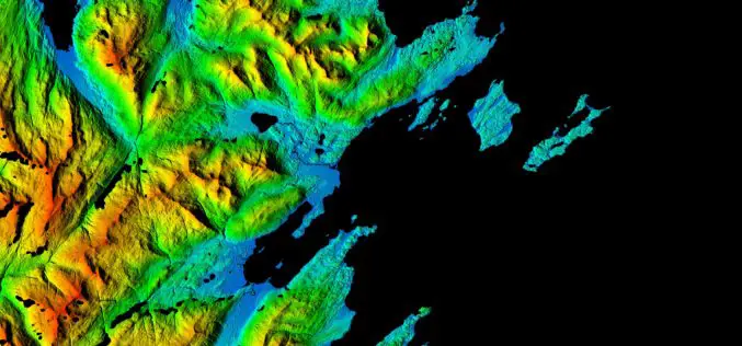
NGA, NSF release 3-D Elevation Models of Alaska for White House Arctic Initiative
SPRINGFIELD, Va. — The National Geospatial-Intelligence Agency and the National Science Foundation publicly released new 3-D topographic maps of Alaska Sept. 1 in support of a White House Arctic initiative
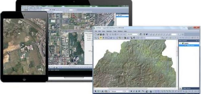
Carrying Maps Everywhere by Using Cache Generator
With mobile devices have gained popularity these days, there are also more and more people using maps on their mobile devices. Therefore, it is an important task for map providers
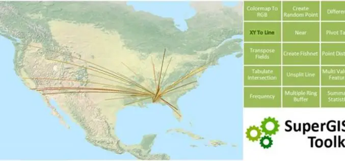
Accelerating Your Geospatial Work with SuperGIS Toolkit 10
Currently, spatial information is widely used in many industries, and the demand for analyzing and processing spatial data is also booming. To meet needs from different industries and users, Supergeo
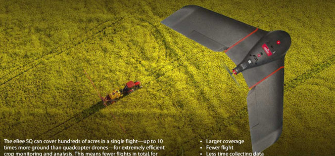
senseFly Ups The Agricultural Ante With Launch Of High Precision, Large Coverage eBee SQ Drone
This new drone is built for the Parrot Sequoia multispectral camera and can cover up to 10 times more ground than small quadcopter systems Cheseaux, Switzerland, August 31 — Swiss

Modernizing Commercial Remote Sensing Regulation
Space News recently published my op-ed on the subject of regulatory reform for the U.S. commercial remote sensing industry. It lays out the case for why it is time for a major

Italian Water Supplier, APM group, Further Selects SuperGIS Geospatial Solution
Supergeo, the global GIS software and solution provider, is pleased to announce that the Italian local water supplier, APM group, further selects SuperGIS products as its geospatial solution. Located in
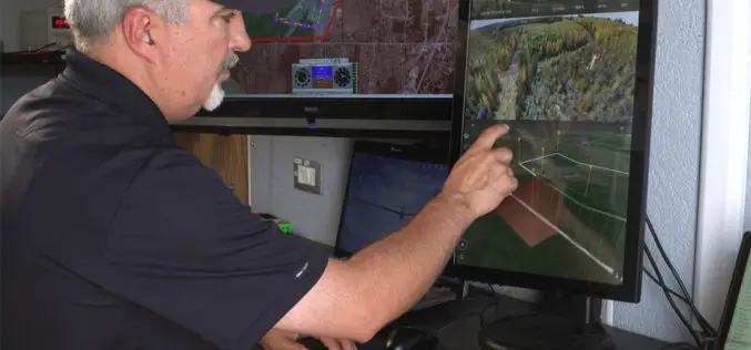
Kongsberg Geospatial and FAA ASSURE UAS Centre of Excellence Partner for Operational Trials of Detect and Avoid and Beyond Visual Line of Sight Display Software
Ottawa, CA, 29 August 2016: Kongsberg Geospatial, an Ottawa-based developer of real-time, mission critical, geospatial visualisation software, and the Federal Aviation Administration’s ASSURE UAS Center of Excellence, lead by Mississippi

TomTom Inaugurates its First Global Innovation Hub in Pune, India
Aims to increase India headcount to 1000 by end of 2016 Pune, India, 30 August, 2016 – TomTom (TOM2) today inaugurated its first global state-of-the-art Innovation Hub in Pune. The

OGC is Considering a Proposed Work Item for 3D Tiles as a Community Standard
The Open Geospatial Consortium (OGC®) is considering start of a new work item for a Community Standard: 3D Tiles. The public is requested to comment on this work item proposal.
