Currently, spatial information is widely used in many industries, and the demand for analyzing and processing spatial data is also booming. To meet needs from different industries and users, Supergeo has deepened the spatial data processing and analysis capabilities of the full-featured GIS software- SuperGIS Desktop 10, which will be released this September.
By using the newly added proximity analysis in SuperGIS Desktop 10, users can find the nearest object in seconds and apply the result to a retail site analysis, which could help users to examine whether the distance from their store to the competitor’s store is appropriate or is enough to access potential customers. And this tool can also be applied to the response of infectious diseases. By searching the nearest source of infection from the patients, decision makers can initiate anti-epidemic measures more precisely.
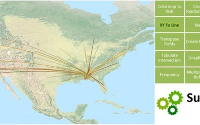
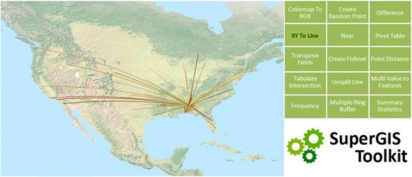
Lastly, the new SuperGIS Toolkit supports more statistical functions too. Users now can calculate the recurring frequency of specific objects. It is very helpful for people who need to generate statistical numbers after investigating the type and amount of features in a certain area.
Except adding abundant data processing and analysis capabilities, in this version, users can rapidly integrate needed GIS functions and share geoprocessing workflows with others much easier by the strengthened Process Designer. Furthermore, Supergeo has simplified the batch processing tool, users now can directly drag and drop multiple datasets to the tool and input and output the parameters to reuse them conveniently, achieving better data processing efficiency.
Still wondering how SuperGIS Desktop 10 can bring users a smarter workflow?
Download free trial via:
http://www.supergeotek.com/download_6_desktop.aspx
On September 28, Supergeo will host a new Webinar focused on the new features of SuperGIS Desktop. The latest info will be announced on Facebook, Twitter, and LinkedIn.