Fugro is playing a bigger role in the Florida Seafloor Mapping Initiative (FSMI), led by the Florida Department of Environmental Protection (DEP). This long-term seafloor mapping project aims to map Florida’s seafloor to improve coastal resilience, plan infrastructure, and protect the environment.
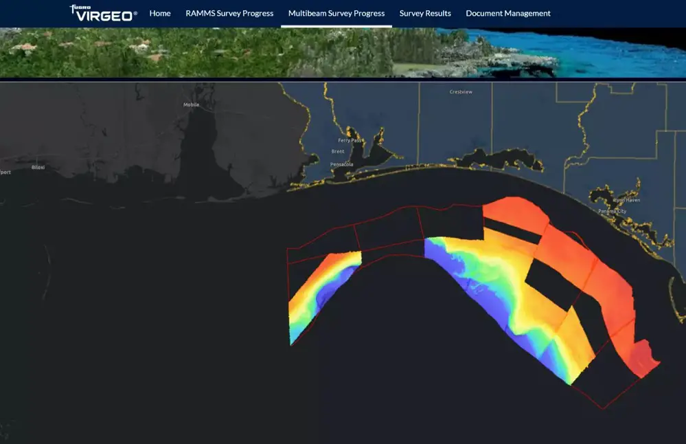
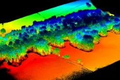
After previously collecting 14,000 square kilometers of airborne lidar data, Fugro is now surveying 42,000 square kilometers offshore using vessels.
The project covers most of Florida’s coastline, including the Atlantic Coast, the Florida Keys, and parts of the Gulf Coast. Starting with one vessel in late 2024, the operation quickly grew into a multi-vessel effort. Fugro uses its advanced VirGeo® platform to track progress and maintain quality in real-time, ensuring efficient management of the surveys.
Fugro’s Innovative Tools and Techniques
Fugro’s work on the FSMI is supported by cutting-edge technologies, including high-resolution sonar and advanced data processing tools. These technologies ensure precise and reliable mapping of underwater terrains, providing valuable insights for planning and protection efforts. Additionally, Fugro’s global expertise in hydrography and geospatial data collection ensures the delivery of high-quality results.
Also Read – New Maps Illuminate Monterey Bay Area Seafloor

Addressing Climate Challenges with Data
The severe impacts of the 2024 hurricane season underline the importance of this work. Rising sea levels and more frequent storms make Florida’s coastlines vulnerable. By partnering with experts like Fugro, the FSMI will provide crucial data to adapt to these changes, support sustainable development, and safeguard local communities and the economy.
“We’re proud to support FSMI, a project that invests in Florida’s future and serves as a model for other regions,” said Mark MacDonald, Fugro’s Director of Hydrography for the Americas. The data gathered will help create better coastal protection and adaptation plans.
Fugro is handling 65% of the vessel-based mapping for the FSMI, showcasing its expertise and dedication to strengthening coastal resilience. The data collection will be finished by late 2025, with final results ready in 2026.
Source: Fugro


