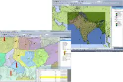
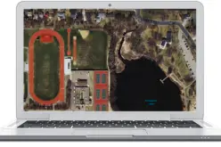
Last month INSPIRE officially adopted the OGC Web Coverage Service (WCS) as INSPIRE Coverage Download Service. Jordi Escriu, Facilitator of the corresponding Thematic Cluster 3, calls “WCS the natural way to deliver and exploit coverage data”.
 The OGC Web Coverage Service (WCS) standards suite defines services on coverages, a concept including spatio-temporal sensor, images (timeseries), simulation, and statistics data. In practice, coverages often represent “Big Data” as orthoimagery, elevation data, weather forecasts, and point clouds. The WCS Core establishes basic functionality all implementations must provide: access to whole coverages or parts thereof via spatial/temporal subsetting. Extensions add optional functionality, such as data format encodings (like GeoTIFF, JPEG2000, NetCDF), service model extensions (such as scaling and reprojection), and protocol bindings (GET, POST, SOAP, and in future REST).
Representatives of industry, administration, and research are positive about the standard model WCS and its reference implementation rasdaman: “The RASDAMAN product is currently the world leading environment in this domain and the standard working horse for OGC standardisation on these innovative data access interfaces”, Guenter Landgraf from European Space Agency (ESA) said.
Already during the workshop “Implementation and potential of INSPIRE coverage data and WCS” at the INSPIRE Conference in Barcelona last Fall attendees were impressed by the options and possibilities WCS is offering. In his presentation INSPIRE delegate, Peter Baumann, and Alex Dumitru from Jacobs University showed the ease of using WCS in a hands-on-session doing live ingest and retrieval using rasdaman. Presenter Julia Wagemann from the European Centre for Medium-Range Weather Forecasts (ECMWF) underlined: “Experience from ECMWF on coverages and WCS is a good example of the benefits and the potential of such kind of data and services. Worth to look at and take into account by other organizations and communities.” Editor of the INSPIRE WCS specification is James Passmore from British Geological Suervey (BGS) who has gained ample experience in coverage services as participant of the EarthServer project. Peter Baumann, head of rasdaman, was involved as national German delegate to INSPIRE; based on a long-standing experience in building flexible, heavy-lifting services he is editor of “Big Datacube” standards in OGC and ISO.


