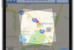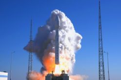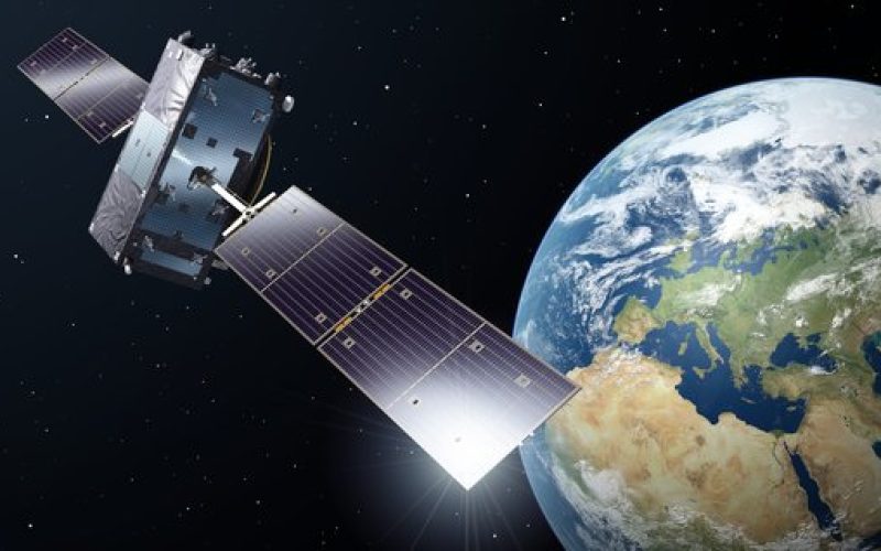
The UAE successfully launched its first Synthetic Aperture Radar (SAR) satellite on August 16, 2024, as part of its Earth Observation Space Program. This satellite, developed through a collaboration between Bayanat AI PLC, Yahsat, and ICEYE, was sent into low Earth orbit (LEO) via SpaceX’s Transporter-11 mission from Vandenberg Space Force Base in California, USA.
This SAR satellite operates in a low Earth orbit (LEO) and is designed to enhance the UAE’s Earth observation capabilities. SAR technology is a type of radar used to create detailed images of the Earth’s surface. Unlike optical remote sensing, which relies on visible light and can be hindered by weather conditions and darkness, SAR actively emits radio waves and measures the reflected signals to generate images.
This allows it to capture high-resolution images in all weather conditions, day or night. The satellite’s SAR capabilities make it particularly useful for applications such as environmental monitoring, disaster management, and national defence, where continuous, reliable imaging is essential.
Also Read – What Makes EOS-08 Mission a Game-Changer in EO
The satellite is part of a broader constellation that aims to provide high-resolution, persistent monitoring of the Earth’s surface, making it a critical tool for both national security and commercial applications.
The UAE’s SAR satellite is part of a broader constellation that aims to provide persistent, high-resolution monitoring of the Earth’s surface. This constellation will play a critical role in both national security and commercial applications, offering reliable data for urban planning, natural resource management, and more.
The launch of this satellite is a significant step toward achieving the goals of the UAE’s National Space Strategy 2030, which seeks to establish the country as a leader in space technology and innovation in the Middle East