
Archive
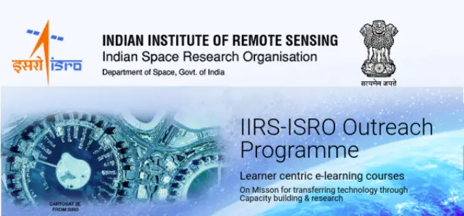
ISRO Online Course on SAR Data Processing and its Applications
To further enhance the outreach of geospatial science and technology Indian Institute of Remote Sensing (IIRS), Indian Space Research Organisation (ISRO) offers Massive Open Online Courses (MOOC) for international participants.
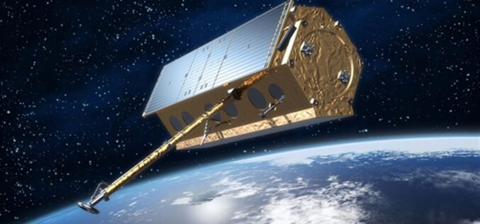
Free and Open Source SAR Image Processing Software
This blog post will introduce best free/open source SAR Image Processing Software packages and provide a brief overview of their features.
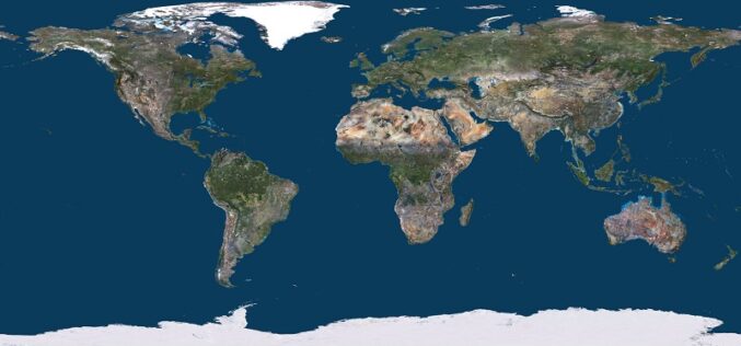
PlanetObserver Releases the most Beautiful 10m Global Imagery Basemap
PlanetObserver is excited to announce the release of PlanetSAT Global 2022, a basemap that provides ready-to-perform, cloudless,and homogeneous imagery. Detailed and up-to-date global basemap With outstanding 10-meter resolution, PlanetSAT Global
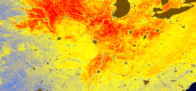
Solar Induced Chlorophyll Fluorescence – A Better Predictor of Crop Stress through Satellite Remote Sensing
Solar Induced Chlorophyll Fluorescence is an electromagnetic signal re-emitted by Chlorophyll-a of a plant which was absorbed by chlorophyll-a and chlorophyll-b from active photosynthetic radiation but unused for photosynthesis.
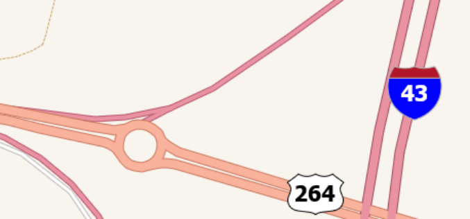
TatukGIS Integrates Road Shields
TatukGIS announces integrated support for highway and route shields in its GIS SDK and desktop GIS products. A built-in SVG symbols library provides easy access to shields commonly used to
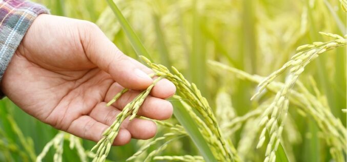
Tamil Nadu Pushes Agriculture Budget for Use of AI, Remote Sensing, and Drones
The Tamil Nadu (India) Agriculture State Budget for 2022-23 emphasizes the use of technology such as IoT, Artificial Intelligence, Drones, and Remote Sensing, as well as a role for industries
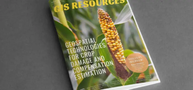
GIS Resources Magazine (Issue 1 | March 2022): Geospatial Technologies for Crop Damage and Compensation Estimation
GIS Resources is pleased to announce the publication of its 1st edition (March 2022) of the print and digital magazine. The edition titled “Geospatial Technologies for Crop Damage and Compensation Estimation.”
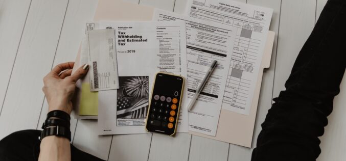
Tips To Lower and Manage Your Hospital Bills
According to new data in 2021, half of Americans have medical debt. Millions of people are experiencing difficulty paying off their medical bills as a result of a broken system.
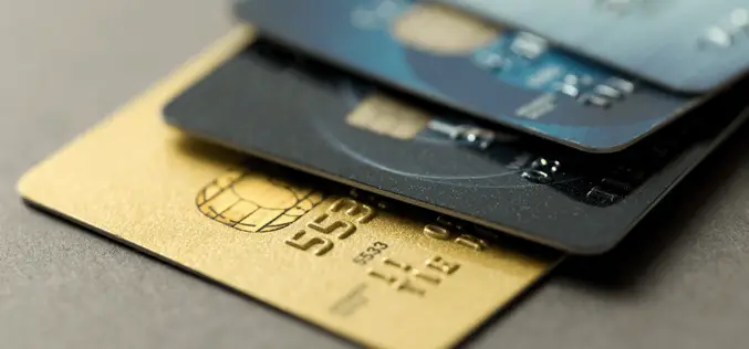
How to Select the Best Company Credit Card
People are used to using credit cards for all kinds of things nowadays and I am sure that you have your fair share of experience with these as well. Yet,
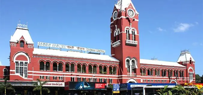
Geospatial Buzz in Chennai: to Fight Crime and Criminal and to Map Public Utilities
Chennai city (India) is in the news for the implementation of geospatial technologies to fight crime & criminal and to map public utilities. Geospatial technologies are playing an increasing role
