Tianhui-1 satellite
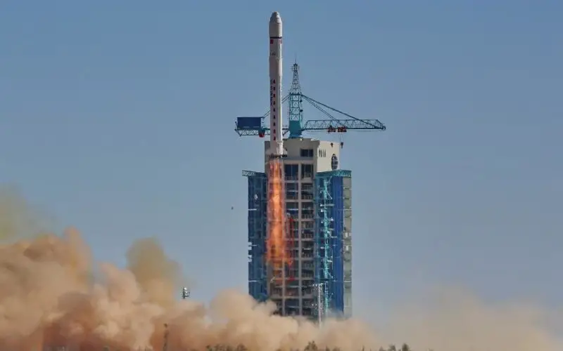
Beijing: China has successfully sent its third mapping satellite of the Tianhui-1 series into orbit on Oct. 26, 2015. Tianhui-1 will enhance the country’s ability to carry out scientific research, mapping and disaster relief.
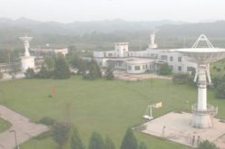
Tianhui-1C mapping satellite was launched from the Jiuquan launching base located in the country’s northwestern Gansu province.
Tianhui-1C was aboard a Long March 2D carrier rocket, the 215th launch of the Long March series rockets, said the China Aerospace Science and Technology Corp (CASTC), China’s primary launch vehicle and satellite contractor.
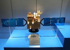
The satellites operate on a 500 km circular orbit and are equipped with two deployable solar panels for energy generation that is stored on onboard batteries. A multi-spectrum camera – with a ground resolution of 10 meters, and spectral region of 0.43μm to 0.52μm, 0.52μm to 0.61μm, 0.61μm to 0.69μm, and 0.76μm to 0.90μm – was also be aboard. The cameras form an image of 60 kilometres wide.
The satellite was developed and produced under the auspices of CASTC and is the third satellite in the Tianhui-1 series. It will be used for scientific experiments, land resource surveys, mapping, crop yield estimation and disaster relief.
The first Tianhui 1 mapping satellite was launched in August 2010. The Tianhui-1 satellites are part of the Ziyuan program that cover different civil and military earth observation as well as remote sensing programs.
The Ziyuan-1 program is focused on Earth resources and looks to have two distinct military and civil branches (this one being operated together with Brazil).
– PTI