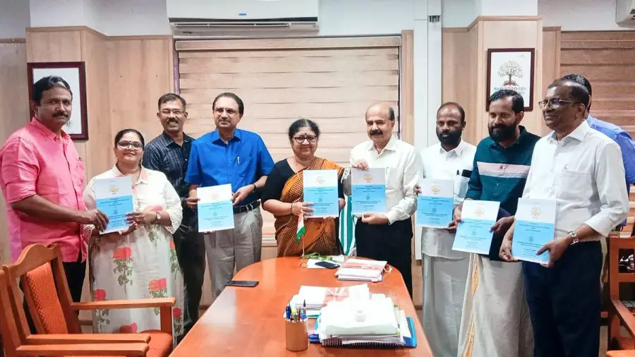
In a significant advancement for disaster prevention, Higher Education Minister R. Bindu recently launched the SLIP-K (Slope Instability Predictor-Kerala) mobile application in Thiruvananthapuram. Developed by Sajin Kumar K.S., Assistant Professor at the Department of Geology, this innovative tool aims to enhance safety in areas prone to landslips, particularly following the recent challenges posed by the Wayanad landslides.
SLIP-K serves as a regional Landslide Early Warning System (LEWS), utilizing sophisticated geospatial data and real-time monitoring to deliver timely alerts on landslip hazards. The application generates up-to-date susceptibility maps every 15 minutes, incorporating rainfall data to help users assess landslip risks in specific regions.
Connected to a network of automatic weather stations across eight locations in the Western Ghats, SLIP-K empowers users with hazard ratings and customizable alarm settings. The app provides push notifications and encourages community participation by allowing users to report observations, thereby enhancing the accuracy of the system.
Also Read – LiDAR Survey for Landslide Risk Management in Uttarakhand
Idukki was selected as the focus area for this application due to its history of landslips, with nearly half of the state’s reported incidents occurring in this district in 2018. With an average annual rainfall of 3,226 mm and varying soil thickness, Idukki faces a heightened risk of shallow landslips.
By incorporating a road hazard layer into the hazard maps, SLIP-K empowers users to make informed decisions during the monsoon season, promoting safety and reducing accident risks. The application has already proven effective, accurately predicting landslips along key roads last year. Kerala University is currently pursuing a patent for this groundbreaking application.
With SLIP-K, Kerala University is taking proactive steps towards safeguarding communities from landslide hazards, fostering a sense of shared responsibility, and enhancing the region’s resilience against natural disasters.
Source: Tartv


