Kirinyaga Lands Department Establishes GIS Lab to Enhance GIS Land Management
In a significant move to enhance land management and service delivery, Kirinyaga County, Kenya, has established a state-of-the-art Geographic Information System (GIS) laboratory. This initiative aims to digitize all land records, improving efficiency and ensuring transparency in GIS Land Management.
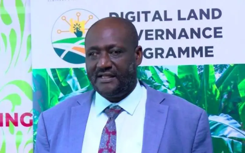
Governor Anne Waiguru emphasized the importance of this development, stating, “This will help streamline operations and improve service delivery in our land department.” The GIS lab will play a crucial role in eliminating fraud and preventing land grabbing by providing accurate and accessible land records.
The implementation of the GIS lab aligns with broader efforts across Kenyan counties to adopt modern GIS Land Management practices. For instance, Garissa County is also establishing a GIS lab to support development planning and infrastructure management in sectors like water, education, health, and natural resources.
Also Read – USGS Uses Remote Sensing for Groundwater Mapping in Kenya
Similarly, Kilifi County launched its GIS-based spatial plan and laboratory to optimize resource utilization and boost economic growth. The National Land Commission (NLC) has urged counties to accelerate the development of spatial plans, noting that only six out of 47 counties have approved such initiatives. The adoption of GIS technology is increasingly recognized as a crucial tool for land administration and GIS Land Management.
The establishment of the GIS lab in Kirinyaga is part of Governor Waiguru’s broader agenda to drive county development. Other major initiatives include signing an agreement for a tomato processing factory, inaugurating the Kerugoya Level Five Hospital, constructing 20 dispensaries, and implementing over 70 water projects.
Also Read – Kenya Teams Up with SpaceX to Launch Earth Observation Satellite Taifa-1
GIS based systemwill not only enhance land records’ accuracy but also support sustainable development by providing vital data for decision-making. As more counties embrace such technologies, Kenya’s land governance and service delivery are set to improve significantly.
By digitizing land records and integrating GIS technology, Kirinyaga County is setting a benchmark for modern land management, ensuring efficiency, transparency, and better resource utilization.
Source: Kenya News Agency