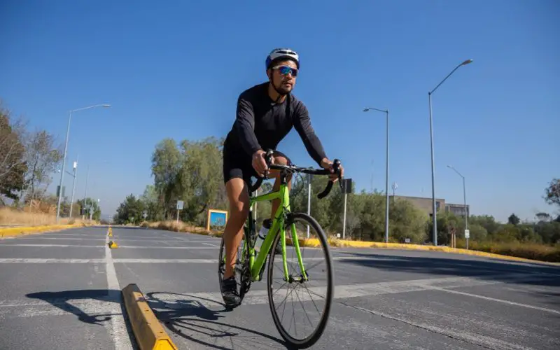
The Netherlands, a country renowned for its cycling culture, is taking a major step forward in road safety with LiDAR-powered cycling safety solutions. Researchers at Delft University of Technology have developed the Delft SenseBike, an electric bicycle equipped with LiDAR sensors to improve safety for cyclists. This innovative approach aims to create a detailed 3D map of road interactions, providing valuable insights into cyclist behavior and potential accident risks.
How LiDAR Improves Road Safety
The SenseBike features front and rear LiDAR sensors that emit infrared light, which reflects off nearby objects and returns data for analysis. This allows the system to detect moving and stationary obstacles, such as vehicles, pedestrians, and other cyclists. By processing this information, researchers can identify patterns in road usage and accident-prone areas.
The collected data will also support artificial intelligence (AI) applications that can predict cyclist movements. This could lead to smart traffic management systems, improved cycling infrastructure, and even self-stabilizing bicycles for safer travel.
Also Read – LiDAR in Traffic Management: UDOT’s Plan for Safer Intersections
Addressing a Critical Safety Gap
Despite the Netherlands’ advanced cycling infrastructure, a lack of real-time data on cyclist behavior has left safety concerns unaddressed. In 2023 alone, 270 cyclists lost their lives in accidents, nearly half involving collisions with motor vehicles. The SenseBike project aims to bridge this gap by offering open-access cycling data that urban planners and AI developers can use to implement proactive safety measures.
Future Implications of LiDAR in Urban Mobility
While the SenseBike will not lead to autonomous bicycles, it represents a significant leap in smart mobility solutions. The project’s findings could influence future road designs, urban cycling policies, and real-time traffic alerts that prevent accidents. By integrating LiDAR-powered cycling safety measures into daily commuting, the Netherlands is setting a global example for leveraging geospatial technology to enhance road safety.
The research team hopes that their data-driven approach will pave the way for smarter, safer, and more sustainable urban mobility worldwide.