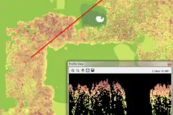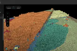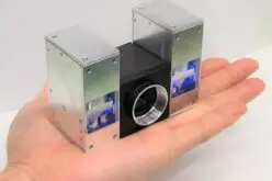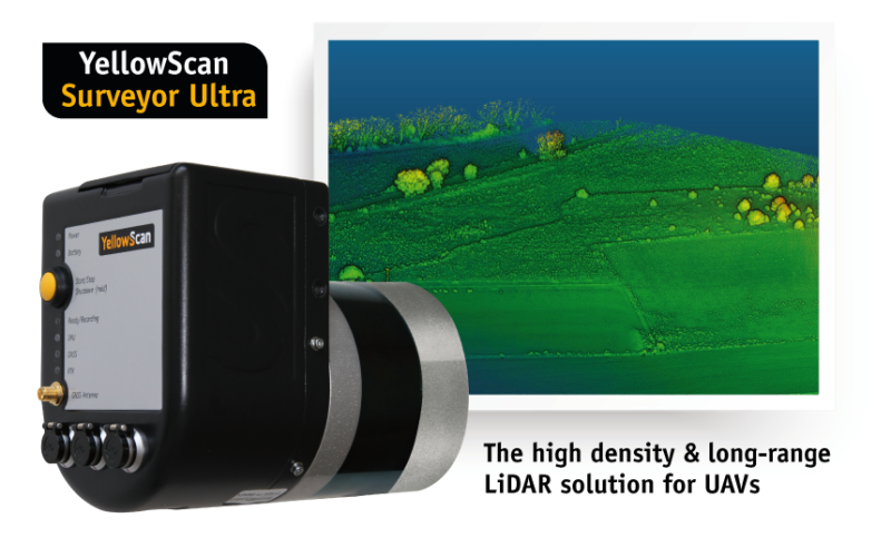
Montpellier, 5 February 2018 – The Surveyor Ultra is the new system from YellowScan, integrating the Velodyne VLP-32C scanner & the Applanix APX-15 IMU. Thanks to its high-density (600 000 shots per second), the system is ideally suited for high-speed UAVs & long-range needs (maximum range:100 m). Its lightweight (1,7 kg) makes it also easy to mount on any drone, including VTOLs. As all YellowScan Lidar Systems, the Surveyor Ultra is a turn-key system fitted for under vegetation 3D modeling, and fast data processing.
Tristan Allouis, Ph.D. & YellowScan CTO: “The Surveyor Ultra shows great potential to safely and efficiently operate lidar on lightweight fixed wing UAVs.”

Pierre d’Hauteville, YellowScan Head of Sales & Marketing: ” The Surveyor Ultra completes our product line including the successful Surveyor Lidar System (integration of the VLP-16 scanner from Velodyne). “
For more information, you can visit YellowSan website.
If you are in Denver, you can also meet YellowScan team at ILMF (International Lidar Mapping Forum) 5-7 February, booth 509, and join them for a flight & data demonstration in Golden on Thursday 8 February with Juniper Unmanned.
Registration for the demo on YellowScan website: http://www.yellowscan.fr/event/ilmf-asprs-2018
————-
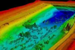
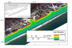
With more than 12 years of field experience, YellowScan is committed to delivering the highest level of performance, reliability, and robustness for its solutions. Our platforms are field tested all over the world in multiple environments (tropical forest, bare soil, mountains, rivers, coastlines, an open-pit mine, power lines).
At we design, develop and produce UAV Mapping solutions for professional applications. Fully integrated, ultra-light and easy to use, these highly automated data collection tools are used by customers around the world in fields such as surveying, forestry, environmental research, archeology, corridor mapping, civil engineering, and mining.YellowScan.
Contact:
Nada Jdaini
Communication Manager
YellowScan
Tel: +33 411 931 427
Email: nada.jdaini@yellowscan.fr