In a recent executive committee meeting of the Uttarakhand Landslide Reduction and Management Centre (ULMMC), Chief Secretary Radha Raturi underscored the urgency of bolstering landslide management and mitigation efforts in the state. Held in the Secretariat, this pivotal meeting highlighted the pressing need for a comprehensive database to track landslide hazards and risks effectively.
Chief Secretary Raturi instructed officials to develop a robust landslide information database, which will include a detailed atlas of the Char Dham Yatra route. This move aims to enhance the monitoring and prevention of landslides, particularly in high-risk areas. The database will also feature district-wise landslide inventories, crucial for understanding regional sensitivity to landslides.
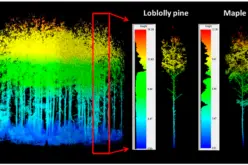
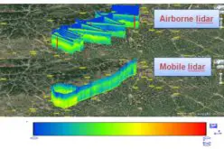
A significant focus of the meeting was on integrating advanced technologies like LiDAR into landslide risk assessments. The LiDAR Survey for Landslide management is critical in providing precise, three-dimensional mapping of terrain, essential for identifying potential landslide zones and assessing geological vulnerabilities.
The data from the LiDAR Survey for Landslide conducted in areas such as Almora, Gopeshwar, Mussoorie, Nainital, and Uttarkashi are expected to offer valuable insights into the geologic factors contributing to landslides.
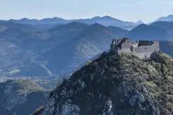
Photo by Timo Volz on Unsplash
The meeting also reviewed the results of recent landslide field tests conducted at 60 sites over the past year. These tests are part of ongoing mitigation and monitoring projects in critical locations, including Joshimath, Haldpani, Dhara, Baliyanala, and Galogi. New projects, supported by the LiDAR Survey for Landslide assessments, are also planned for Naina Peak, Mansa Devi, and Bahugunanagar, addressing areas with heightened landslide risks.
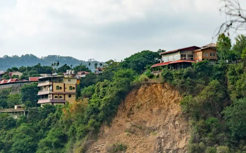
Factors contributing to landslides in Uttarakhand include steep terrain, geological instability, and heavy rainfall. Effective early warning systems are crucial in mitigating these risks. The Chief Secretary emphasized the need for continuous monitoring and timely alerts, supported by data from the LiDAR Survey for Landslide assessments, to prevent landslides and ensure public safety.
Attendees at the meeting included Principal Secretary RK Sudhanshu, Secretary Vinod Kumar Suman, Additional Secretary Dr. Ahmed Iqbal, Vineet Kumar, and other key officials. The concerted efforts to enhance landslide management underscore the state’s commitment to addressing this critical issue with urgency and precision.
Source: Garhwal Post