
Tag "LiDAR Survey"
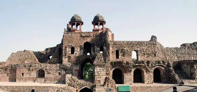
Purana Qila LiDAR Survey to Guide ASI’s New Excavation in Search of Indraprastha
The Archaeological Survey of India (ASI) is set to resume its excavation efforts at Purana Qila, one of Delhi’s most significant archaeological sites, in search of evidence related to Indraprastha,
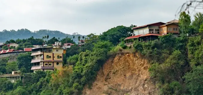
LiDAR Survey for Landslide Risk Management in Uttarakhand
In a recent executive committee meeting of the Uttarakhand Landslide Reduction and Management Centre (ULMMC), Chief Secretary Radha Raturi underscored the urgency of bolstering landslide management and mitigation efforts in

Northeast Frontier Railway (NFR) to Conduct Airborne LiDAR Survey
The Indian Railway’s Northeast Frontier Railway (NFR) zone is set to conduct an Airborne LiDAR Survey on the Lumding to Badarpur hill section. This advanced survey will take place during

INTERGEO 2020 DIGITAL, October 13-15, 2020: RIEGL Presents Their New Products 2020
2020 is a very special year – COVID-19 has taught us to think in new dimensions and to work in new spheres. Nevertheless, RIEGL does not want to break with
New Zealand Major Funding Boost for LiDAR Survey
Gisborne – April 6, 2018 – Gisborne District Council will receive over $1 million in funding to fly LiDAR across the entire district, a project that will bring major economic and
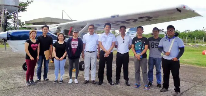
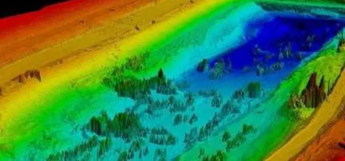
Aerial LiDAR Survey to Produce 3D Flood and Hazard Maps for River System in Philippines
Catandunganon, Philippines – Recently a team from the Department of Science and Technology (DOST) and the University of the Philippines Training Center for Applied Geodesy and Photogrammetry (UP TCAGP) has conducted
Aerial LiDAR Survey of Rail Corridor Between Mumbai and Ahmedabad
According to recent news reported by TOI, The railways will use LiDAR technology -aerial survey using a chopper -to speed up work on India’s first high-speed train corridor between Mumbai
Telangana Government to Take Up LiDAR Survey of Barrages and Canals
As reported in The New Indian Express, the Telangana Government is all set to start the LiDAR survey of the altered Pranahita – Chevella project from August 18. The state government

Telangana State to go for Topographical Survey of Godavari River
According to recent news in Indian Express, the Telangana state government is determined to optimal utilization of allocated Godavari water falls. The state government has decided to go for topographical
