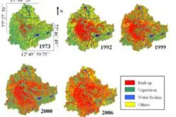
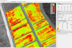
Microsoft and NASA have partnered to launch the Earth Copilot AI Initiative, a transformative tool designed to simplify access to NASA’s vast Earth science data. This collaboration combines Microsoft’s cutting-edge AI technology with NASA’s data expertise, empowering users to address critical global challenges such as climate change, disaster management, and sustainable development.
About Earth Copilot AI Initiative
The Earth Copilot AI Initiative utilizes Microsoft Azure and OpenAI technologies to make complex datasets more accessible. The platform eliminates the need for specialized technical knowledge by enabling natural language interaction, making Earth observation data available to a wider audience.
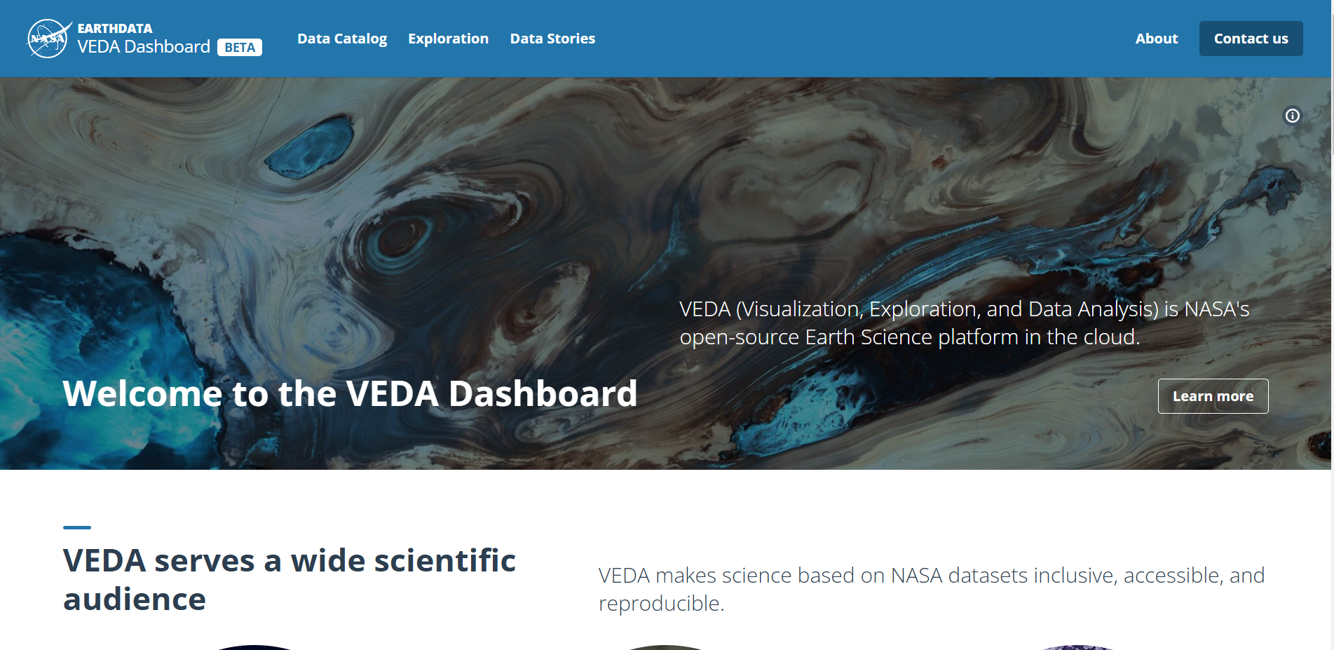
The initiative has been integrated into the NASA VEDA (Visualizing Earth Data and Analysis) dashboard, enhancing its functionality with AI-powered tools for better visualization and analysis of environmental data. The integration of Earth Copilot enhances its capabilities by providing AI-powered insights, enabling faster and more effective solutions.
Public Availability and Current Users
Earth Copilot is expected to be rolled out to the public in early 2025, following its current trial phase. At present, it is primarily being used by NASA scientists, researchers, and industry professionals to validate its performance and refine its features. This collaborative testing ensures the tool’s readiness for global use, addressing diverse needs across sectors such as agriculture, urban planning, and disaster response.
Who Benefits and How?
The Earth Copilot AI Initiative is set to benefit a diverse group, including researchers, educators, policymakers, and industries. For example:
- Farmers can monitor soil and weather conditions to optimize crop yields.
- Urban planners can analyze climate trends to design more resilient cities.
- Emergency responders can quickly access data for disaster preparedness and recovery.
This initiative also opens opportunities for underserved regions by breaking down barriers to complex data, ensuring equitable access to critical environmental information.
Impact on Research and Global Challenges
The Earth Copilot accelerates scientific research and fosters global collaboration. Transforming how users interact with Earth observation data, empowers them to make data-driven decisions for addressing pressing global issues. Its potential applications in climate action, biodiversity conservation, and sustainable resource management make it a game-changer for both local and global initiatives.
What’s Next?
Microsoft and NASA aim to expand the Earth Copilot AI Initiative by incorporating more datasets and extending its reach to additional sectors. Future updates will enhance the tool’s capabilities, fostering innovation and making Earth science data even more impactful.
For more details, visit the official Microsoft announcement.


