NASA ARSET Training- Sea Level Change Tools for Planning and Decision Support
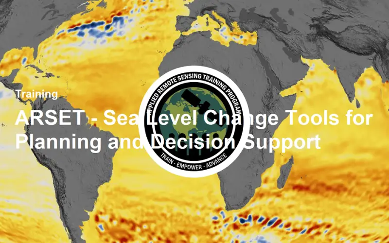
Sea level change is accelerating, currently rising at approximately 3 mm per year—and this pace is expected to increase further throughout the next century. To track and analyze past, present, and future sea-level trends, scientists rely on a combination of ground-based, aerial, and satellite observations, as well as climate models and emission scenarios. These insights form the foundation for global strategies in adaptation, mitigation, and risk management, impacting societies and ecosystems alike.
This two-part introductory training will highlight NASA’s suite of tools and datasets designed to evaluate historical sea-level rise, interpret future projections, and understand potential consequences. Participants will also learn about the physical drivers of sea-level change at both regional and global levels and gain hands-on experience using NASA’s climate and analysis tools to access, visualize, and analyze the data.
Training Schedule & Format
- Dates: June 10 & June 17, 2025
- Session Options: 11:00–12:30 PM or 2:00–3:30 PM EDT (UTC-4)
- Format: Online, instructor-led webinars
- Language: English
- Level: Introductory
- Certification: Participants who attend both sessions live and complete the assigned homework will receive a certificate of attendance.
Learning Objectives
By the end of the training, participants will be able to:
- Identify the Earth processes contributing to global and regional sea-level changes.
- Utilize remote sensing and modeled data to assess sea-level changes.
- Understand the implications of sea-level rise on coastal flooding and infrastructure.
- Operate the Sea Level Explorer tool to analyze past and future sea-level changes.
- Access future projections using the IPCC AR6 Projection Tool under various emission scenarios.
- Visualize oceanic and groundwater flooding maps with the Pacific Islands Flooding Tool.
Expert Instructors
The sessions will be led by ARSET trainer Sean McCartney, with guest instructors including Angelica Rodriguez, Denis Felikson, Bob Kopp, and Phil Thompson. Their expertise spans remote sensing, climate modeling, and sea-level science, ensuring a comprehensive learning experience.
Tools & Resources
Participants will gain hands-on experience with:
- Sea Level Explorer: An interactive tool for assessing sea-level changes at global and regional scales.
- IPCC AR6 Projection Tool: Provides future sea-level projections based on different emission scenarios.
- Pacific Islands Flooding Tool: Visualizes potential flooding impacts in Pacific Island regions.
Who Should Attend?
This training is ideal for:
- Local, state, federal, and international agencies involved in coastal planning and management.
- Public and private sector organizations integrating sea-level data into their operations.
- Academics and researchers focusing on climate change, sea-level rise, and related impacts.
Registration & Prerequisites
Interested participants should have a basic understanding of remote sensing. To register and for more information, visit the official training page: ARSET – Sea Level Change Tools for Planning and Decision Support


