Contributed By –

What Kind of Story Do You Want to Tell?
A. Sequential, Place-based Narratives
This app presents a sequential, place-based narrative in the form of a series of geotagged photos and captions linked to an interactive map. It’s ideal for walking tours or for a series of locations you’d like users to follow in sequence.
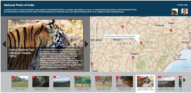
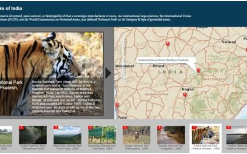
The Story Maps provides information about all the major national parks of India, in chronological order of the year it got declared as national park.
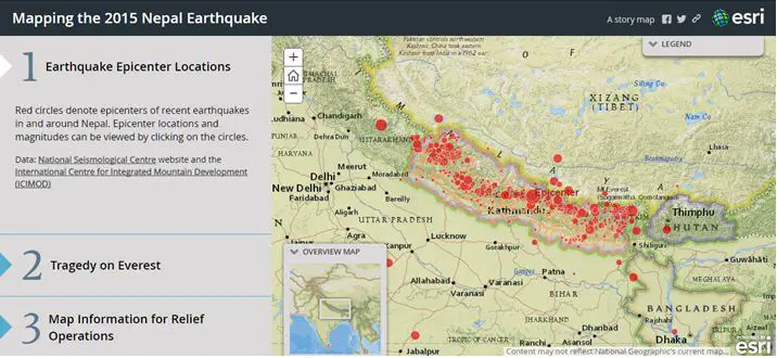
This app lets you create a compelling map-based narrative presented as a set of journal entries. It’s ideal for creating multimedia stories that combine text, maps, images, and video, especially when you have lots of text or a rich array of content.
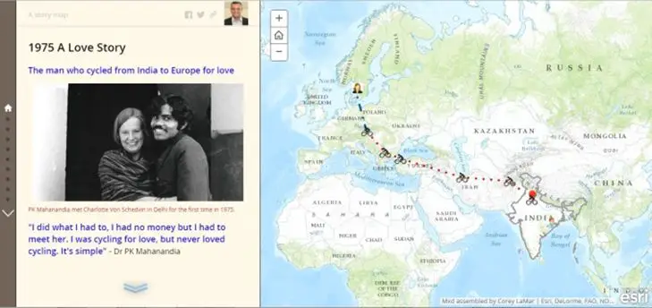
The man who cycled from India to Europe for love
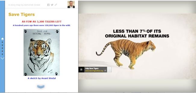
The Story Map provides information on various “Save Tigers” campaigns around the world.
B. Presenting a Series of Maps
1. Story Map Series℠ – Tabbed Layout
The Tabbed layout presents a series of maps via a set of tabs. There’s an optional description panel for presenting text and other content associated with each map.
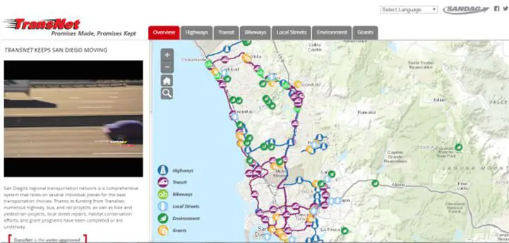
San Diego’s regional transportation network is a comprehensive system that relies on several individual pieces for the best transportation choices
2. Story Map Series℠ – Side Accordion Layout
The Side Accordion layout presents a series of maps, and accompanying text and other content for each map, in an expandable panel. Clicking a title selects the map and expands the panel to reveal the text.
3. Story Map Series℠ – Bulleted Layout
The Bulleted layout presents a series of maps via numbered bullets, one per map. It’s a good choice when you have a large number of maps or locations to present. There’s an optional description panel for presenting text and other content associated with each map.
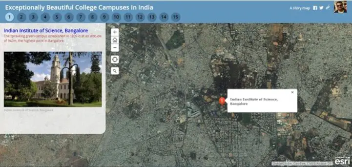
A list of beautiful college campuses in India
C. A Curated List of Points of Interest
This app lets you present a set of places organized into a set of tabs based on themes, for example, food, hotels, and attractions. As users navigate around the map, the tabs update to show them the places in the current map extent.
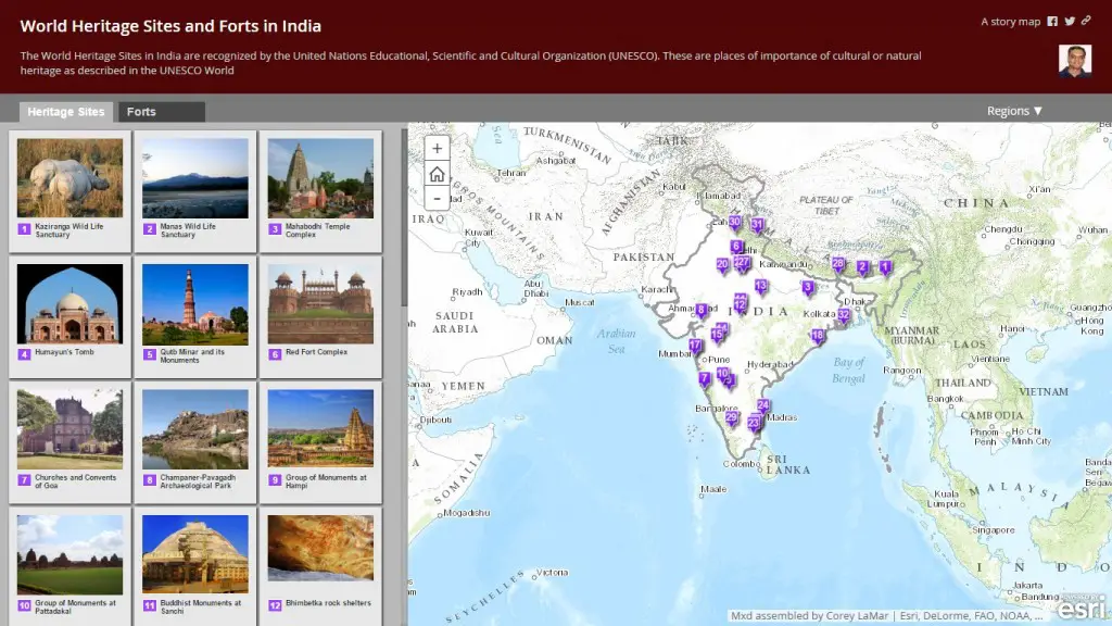
Lists of “World Heritage Sites” and “Major Forts” of India.
References
- Story maps site: https://storymaps.arcgis.com/en/
- Collection of story maps: http://arcg.is/1vdlUwM