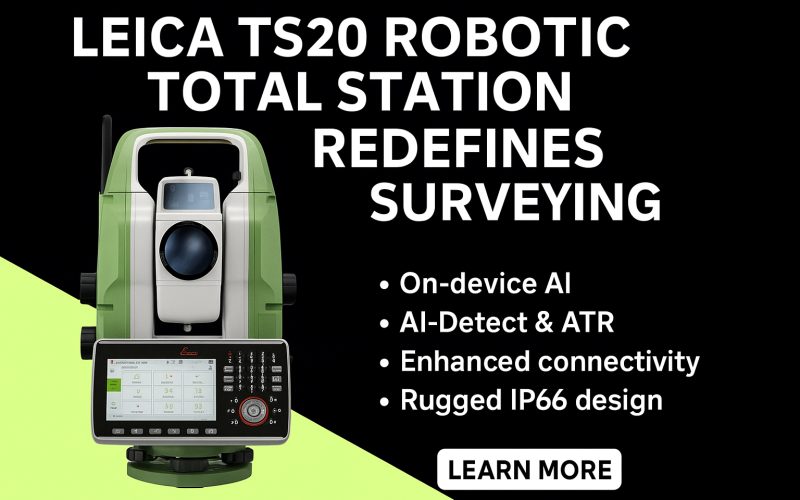
Leica Geosystems, part of Hexagon, has unveiled the Leica TS20 robotic total station, a ground-up redesign that blends modern AI with rugged surveying hardware. With this release, Leica aims to redefine field productivity for surveyors across cadastral, construction, and monitoring tasks.
What’s new: more than just an upgrade
For the first time in over a decade, Leica has introduced a total station engineered from scratch rather than incremental modifications. The Leica TS20 robotic total station integrates edge AI, enhanced durability, streamlined connectivity, and security features to meet today’s demanding field environments. Its redesign addresses long-standing user requests and anticipates future workflows.
Deeper
dive: key highlights
Here are the standout features of the Leica TS20 robotic total station:
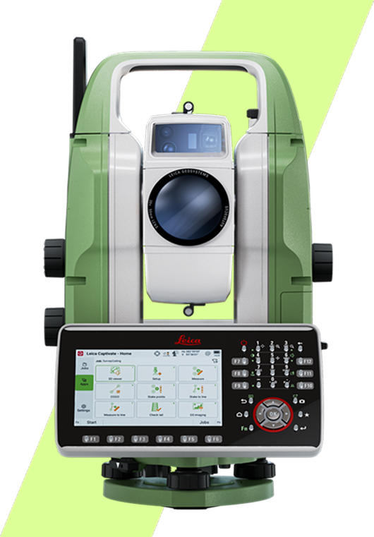
- On-device AI (Neural Processing Unit) — performs tasks like error detection, prism type recognition, and target identification without relying on the cloud.
- AI-Detect & ATR (Automatic Target Recognition) — warns operators if the prism selected and prism used mismatch; enables autonomous target search even in rain, mist, or challenging lighting.
- Future AI-Follow update — when released, this will allow the TS20 to track a pole (AP20 AutoPole) even when line of sight is temporarily blocked.
- IP66-rated rugged design — fully dust tight and able to withstand powerful water jets, meaning no extra shielding in harsh weather.
- GeoCloud Protect security — enables theft deterrence via remote locking and location tracking if the instrument is stolen.
- Enhanced connectivity — supports mobile data, WiFi, and long-range Bluetooth; integrates into Leica’s software ecosystem (e.g. Captivate) and the cloud.
- New hardware and motors — maintenance-free motors, higher frequency EDM, faster boot and processing speeds.
Why it matters
Surveyors often lose time to avoidable errors, environmental challenges, or slow workflows. Leica positions this release as a leap forward: the AI features help prevent mistakes before they happen, the rugged build enables reliable performance in the field, and connectivity ensures data flows seamlessly to project backends. Moritz Lauwiner, EVP of Hexagon Geosystems, describes the TS20 as “the most significant leap forward in total station technology in over a decade.”
What comes next & call to action
The Leica TS20 robotic total station is now available for order through Leica’s global distribution network. Leica is already planning software updates (such as AI-Follow) to expand capabilities post-launch.
Surveying firms and contractors are encouraged to evaluate how this new tool can reduce rework, accelerate throughput, and usher in smarter field operations. To learn more, request a demo, or check availability, visit Leica Geosystems’ official site and contact your local Leica distributor.
Source: Leica Geosystems