
Archive
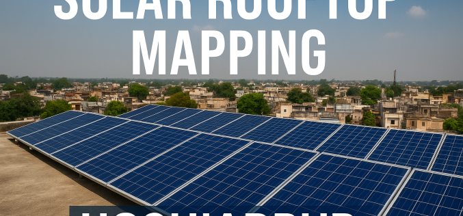
Hoshiarpur’s Drive for Solar Rooftop Mapping Strengthens Clean Energy Plan
The district administration of Hoshiarpur, Punjab, has entered into a new collaboration with the Bengaluru-based think tank Centre for Study of Science, Technology and Policy (CSTEP) to advance its clean

Revolutionising Remote Sensing with Geospatial Foundation Models on AWS
The advent of geospatial foundation models (GeoFMs) is reshaping how we interpret and act on Earth-observation data. On Amazon Web Services (AWS), GeoFMs are transformer-based vision models that are pre-trained

Karnataka Unveils GIS-Driven Governance Model
The Karnataka government has rolled out a comprehensive GIS-driven governance model aimed at enhancing transparency, efficiency and scientific planning across the state. The initiative is anchored in a report titled
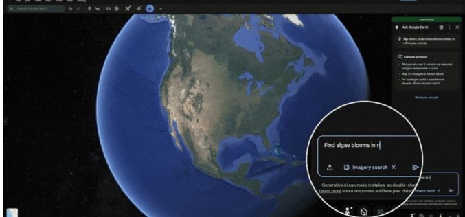
Google’s Earth-AI Unlocks Geospatial Reasoning for a Changing Planet
In a groundbreaking leap for geospatial intelligence, Google’s Earth-AI is redefining how scientists, governments, and organizations analyze our planet. The system combines satellite imagery, environmental data, and population information through
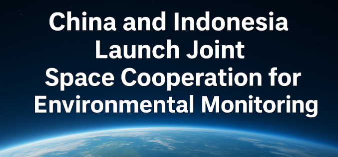
China and Indonesia Launch Joint Space Cooperation for Environmental Monitoring
China and Indonesia have strengthened their technological and environmental ties through a landmark agreement to establish a satellite-based remote sensing centre. The initiative, marking a new phase of China-Indonesia Space
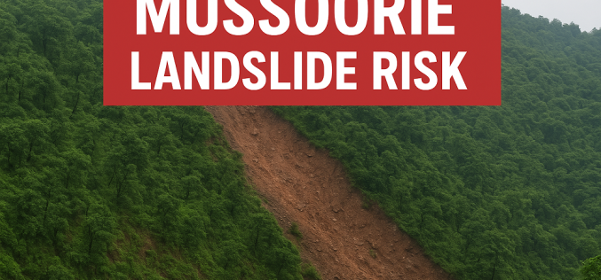
Study Warns of Rising Mussoorie Landslide Risk
In a stark warning issued by the Wadia Institute of Himalayan Geology (WIHG), the popular hill station Mussoorie is facing serious terrain instability — the study reveals that around fifteen

Innovation in Every Pulse: RIEGL’s New LiDAR Technologies
Introducing the latest advancements unveiled at INTERGEO Frankfurt 2025— engineered for precision, built for performance At INTERGEO Frankfurt 2025, RIEGL once again presents a broad range of innovations for the
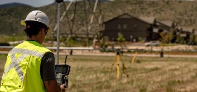
Trimble Ushers in New Era of Productivity and Connectivity with Comprehensive Data Collector Portfolio
Integrated Solutions Deliver Real-time Data, Streamlined Workflows and Enhanced Field Security Trimble® has announced the launch of its comprehensive data collector portfolio, marking a new era of productivity and connectivity for
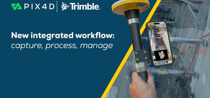
Pix4D To Provide An Accurate Data Capture Workflow With PIX4Dcatch And Trimble Connect
PIX4Dcatch is a user-friendly 3D scanning and AR visualization tool used by professionals in industries such as underground utility mapping and construction. Paired with the Trimble® Catalyst™ DA2 positioning system,

NASA to Host Training on Climate-Sensitive Disease Risks
NASA’s Earthdata program is rolling out a new training designed to strengthen global capacity in tracking and forecasting Climate-Sensitive Disease Risks. The Applied Remote Sensing Training (ARSET) initiative will conduct
