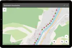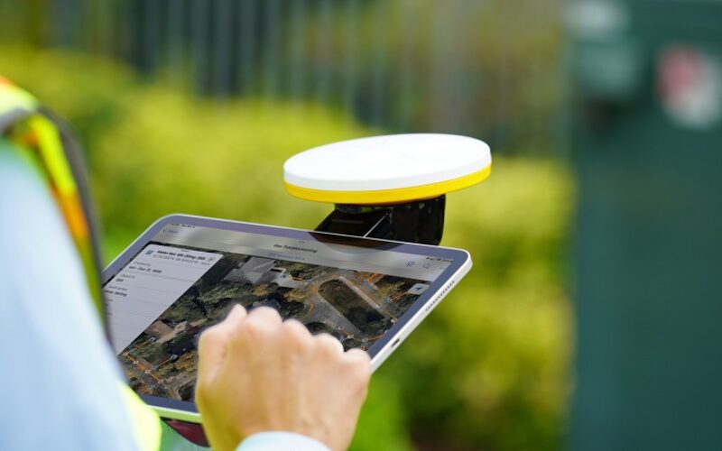
Trimble has recently introduced the Trimble Catalyst handle, which adds a new level of flexibility to accessing GNSS. Precise GNSS data collection of features/points of interest like an electric pole, manholes, road sign inventory, and underground utility location and roadway inspections typically involves pole setup and a compact GNSS with survey-grade precision.
With Trimble Catalyst handle accessory puts the precision of Catalyst right in your hands. This lightweight, ergonomic solution makes it easy to complete your Catalyst-enabled mapping and field data collecting workflows while on the go.
Trimble Catalyst is a ground-breaking GNSS concept that provides Android™ and iOS devices with positioning-as-a-service. Turn your smartphone or tablet into a precision mapping, navigation, and measurement tool with the addition of the simple, lightweight Trimble DA2 GNSS receiver and an on-demand accuracy-based subscription, which you can use with any location-enabled software or service.
Also, Read – OnPOZ Collect and Cloud Mappings Apps for Geospatial Data Collection
The Trimble Catalyst handle provides new flexibility for the system, a user can:
- Choose their device, whether iOS or Android™, which turns any smartphone or tablet into a Trimble-quality handheld positioning system.
- Swap out a device at any time, whenever an upgrade is needed.
- Adjust accuracy level as requirements change by switching up the accuracy-based Catalyst subscription.
- Affix a monopole when decimeter-level or better positions are crucial.
- It’s easy to assemble.
Source – Trimble