
Tag "DSM"
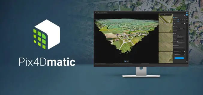
Pix4Dmatic Latest Digital Photogrammetry Software
Pix4D a leader in digital photogrammetry software provider has launched Pix4Dmatic. Pix4Dmatric software is more accurate and apt for fast corridor and large scale mapping. Pix4Dmatic is designed to work
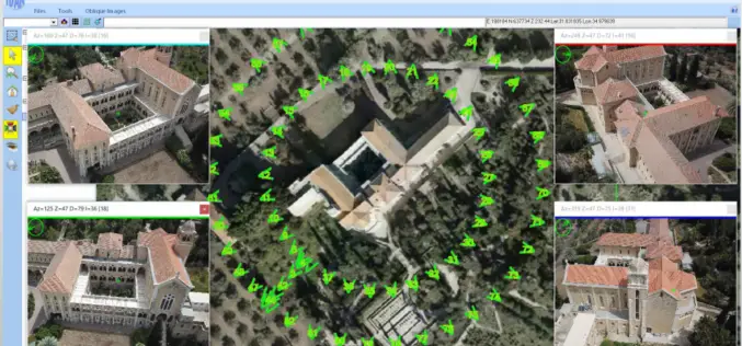
ObliMapper Transforming Drone Imagery into Actionable Visual Intelligence
Israeli company IDAN Computers Ltd. uses the TatukGIS Developer Kernel to develop its ObliMapper aerial drone image capturing, handling, and analysis tool designed to efficiently combine the benefits of orthophotos
SimActive Launches Subscription UAV Software
SimActive Inc., a world-leading developer of photogrammetry software, is pleased to announce a new subscription-based offering for Correlator3D™ UAV. The rental option allows users with a dynamic workload to access
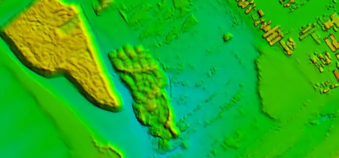
Vricon Introduces Groundbreaking Medium-resolution Digital Surface Model
November 10, 2015 – Vricon releases a medium-resolution global digital surface model (DSM) for $1.99 per km2 that defines a new industry standard for this product class. Vricon DSM-10 is

Philippines Uses LiDAR for Flood Hazard Mapping
Palawan is one of the many provinces of the Philippines that benefited from the flood hazard mapping project. The project was initiative of Department of Science and Technology’s (DOST). Recently

Open Source Software for Bulk LiDAR Data Processing Released
Developed for Forest Carbon Monitoring to Support Reducing Emissions from Deforestation and Forest Degradation (REDD+) in Kalimantan, Indonesia; Now Available for Public Use. For this project, Applied GeoSolutions and the
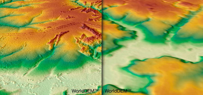
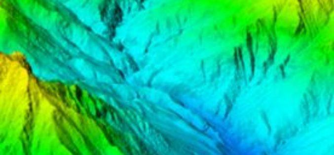
WorldDEM DTM Now Available
Precise Terrain Information Globally for Effective Analysis The WorldDEM Digital Terrain Model (DTM) is now commercially available for all users that need superior terrain information anywhere on the globe. The

SimActive’s Software Purchased by Mexican Firm IMT
SimActive Inc., a world-leading developer of photogrammetry software, is pleased to announce that Mexican firm IMT Latinoamericana S.A. de C.V. has purchased its Correlator3D™ product. The transaction was brokered by
Confused Between DEM, DTM and DSM !
Submitted By: The term Digital Elevation Model (DEM), Digital Terrain Model (DTM) and Digital Surface Model (DSM) has several meanings and are not always understood properly, correctly or misinterpreted. In
