India’s fisheries sector is undergoing a digital transformation, with Satellite Technology in Fisheries playing a crucial role. From real-time monitoring to resource management, these advancements are improving efficiency, ensuring sustainability, and strengthening India’s position as the world’s second-largest fish producer.
Real-Time Monitoring with Satellite Technology
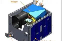
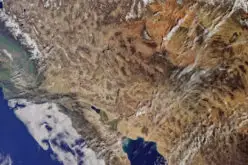
The integration of Satellite Technology in Fisheries allows for continuous monitoring of fish stock distribution, ocean temperatures, and climate variations. Fishers and policymakers can use this data to optimize fishing routes, predict seasonal changes, and prevent overfishing. Satellite-based vessel tracking further enhances maritime security, reducing illegal fishing and improving safety at sea. Additionally, satellite systems provide early warnings for cyclones and coastal disasters, helping fishers make informed decisions.
Also Read – Global Fishing Watch Using Mapping Technology
GIS-Based Mapping for Sustainable Fisheries
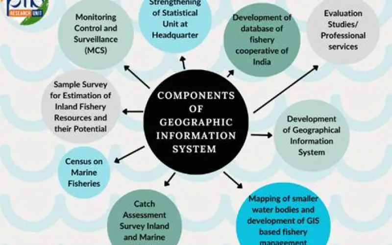
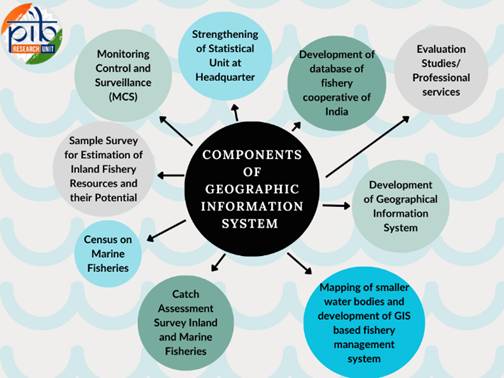
Geographic Information System (GIS) technology complements satellite advancements by providing detailed mapping of aquatic ecosystems. These maps help identify suitable fishing zones, assess water quality, and monitor habitat changes. GIS-based analysis aids in planning aquaculture farms and improving resource allocation, reducing environmental impact. By integrating satellite imagery with GIS, authorities can better manage marine conservation efforts and ensure long-term sustainability.
Boosting Productivity and Market Access
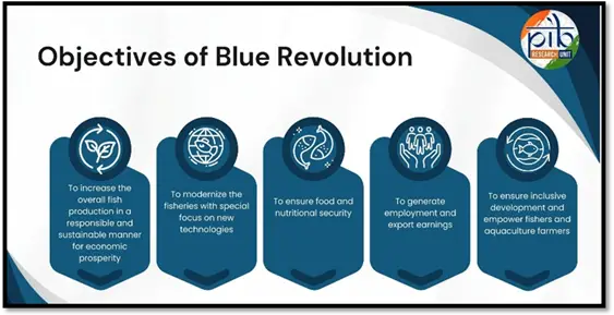
The adoption of Satellite Technology in Fisheries supports government initiatives like the Pradhan Mantri Matsya Sampada Yojana (PMMSY). Satellite-driven insights help optimize fish production, reduce losses, and improve supply chain logistics. By using advanced technology, fishers can access better markets, increase profitability, and contribute to India’s seafood exports.
Conclusion
With Satellite Technology in Fisheries and GIS-based mapping, India’s fisheries sector is becoming more resilient, efficient, and sustainable. These advancements not only empower fishers but also ensure the long-term health of marine resources. As technology evolves, India’s seafood industry is set for continued growth.
Source: PIB