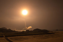
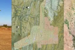
In recent news, Planet Labs is planning to launch a fleet of 100 satellites rockets from the United States and Russia over the next 12 months. This constellation will collect global imagery every day.
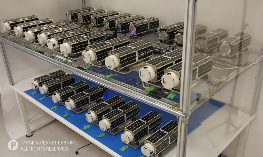
Each of these miniature Earth imaging spacecraft weights less than 10 pounds.
The announcement comes after Planet Labs received $52 million in financing led by venture capitalist Yuri Milner.
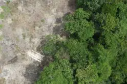
“We are imaging the planet to save the planet,” said Will Marshall, co-founder of Planet Labs. “Imaging the Earth at this frequency will help us to measure things from deforestation, to improving agricultural yield, to detecting overfishing. Our mission is to create information people need to help life on the planet.”
In February, 28 Planet Labs has deployed 28 satellites on the International Space Station using CubeSat deployer. Each camera on each of those spacecraft can capture images with a resolution between 3 and 5 meters, or between 10 and 16 feet, according to Planet Labs. These satellites are limited to imaging between 52 degrees of the equator due to their orbit.
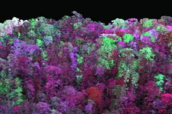
The constellation of satellites will add the capability to monitor natural disasters, deforestation, agricultural yields, and environmental changes to keep track of changes to Earth’s surface.
Source: Spaceflight Now