
Tag "Fog Map"
GIS
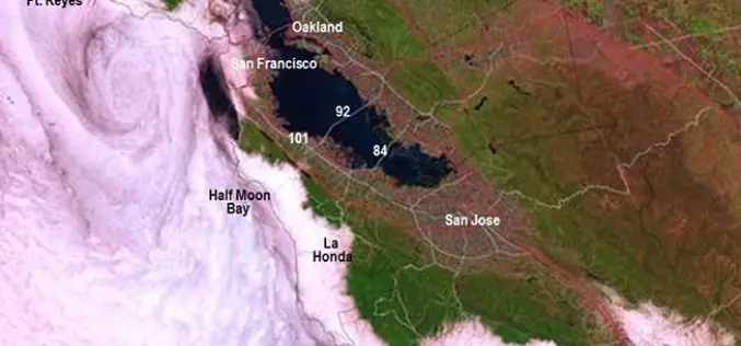
New California Fog Maps Reveal Pictures for Planning
A new series of maps of fog and low clouds covering the northern and central California coasts reveals daytime and nighttime patterns with a level of detail never previously mapped.
