
Tag "Free GIS Data"
Free GIS Data – Natural Disasters Data
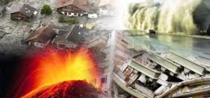
Free GIS Data – Natural Disasters Data Natural Disasters Data Natural Disaster Hazards: Hazard Frequency, Mortality and Economic Loss Risk as gridded data for the globe. Covers cyclones, drought, earthquakes,
Free GIS Data – Land Cover and Land Use Data
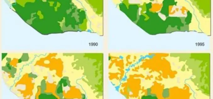
Free GIS Data – Land Cover and Land Use Land Cover and Land Use Data USGS Land Cover Institute: Great set of links to almost all land cover datasets.

Free GIS Data for Ecology
Free GIS Data- Ecology Ecology Data Atlas of the Biosphere: Raster maps of environmental variables including soil pH, potential evapotranspiration, average snow depth and many more. Lifemapper: Species distribution maps
Free GIS Data for Mineral Resources/Oil and Gas
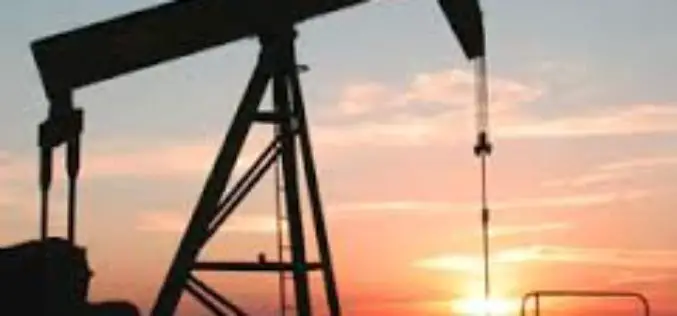
Free GIS Data – Mineral Resources/Oil and Gas Mineral Resources/Oil and Gas Mineral Resources Data System: Vector data of mineral resources across the world including names, locations, descriptions, geological characteristics
Free GIS Data Portals
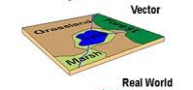
Free GIS Data Portals General GIS Data Portals Natural Earth – Vector: Includes coastline, land, oceans, islands, rivers, lakes, glaciated areas and bathymetry. Available at multiple levels of detail. Natural
