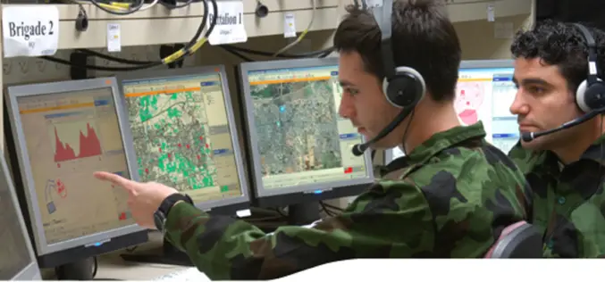
Tag "GIS for Defense and Intelligence"
GIS
Geospatial Technologies – Transforming Way of War
The 8th Land, Naval & Internal Homeland Security System Exhibition end in Delhi on February 09, 2014. The event was organized by the Ministry of Defence, Government of India and
E-books
GIS for Defense and Intelligence: ESRI
GIS for Defense and Intelligence: ESRI Download GIS for Defense and Intelligence: ESRI “This blog does not host any contents or data. All the files linked to other website
GIS
GIS for Defense and Intelligence
Most national security decisions involve geography. Whether assessing potential terrorist targets, planning where to strike on the battlefield, or deciding where to locate a new building with minimal environmental impact,


