
Tag "Linking U.S. and Canadian Border Waters"
GIS
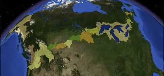
Linking U.S. and Canadian Border Waters
In recent news by USGS, seamless digital maps of surface waters along the Canada and United States International Boundary are now possible. These maps make tracking complex water issues easier to solve
