
Tag "Mapping Flood plains"
Uncategorized
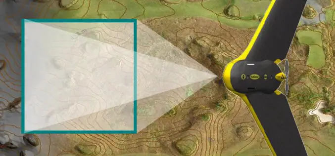
Aircraft Likely To Be Used For Mapping Ganga Basins to Rid It of Pollution
Fitted with powerful cameras, Special Purpose Aircraft may soon fly over the Ganga to survey the river as it courses through five states for a geospatial mapping of its basin
