
Tag "Remote Sensing of Environment"
GIS
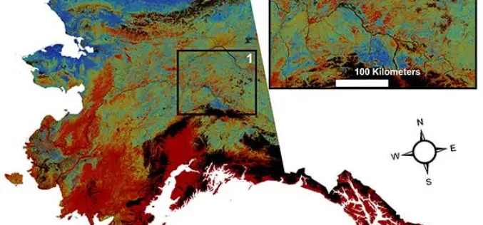
USGS Projects Large Loss of Alaska Permafrost by 2100
Using statistically modeled maps drawn from satellite data and other sources, U.S. Geological Survey scientists have projected that the near-surface permafrost that presently underlies 38 percent of boreal and arctic
