
Tag "Sabkhas"
GIS
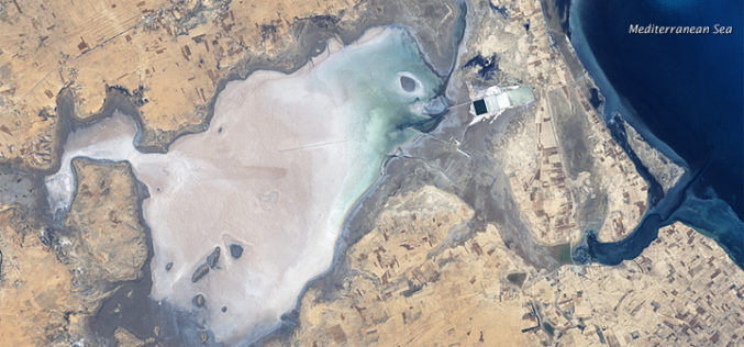
Remote Sensing and GIS to Study Geomorphology of Al Batinah
In recent news, researchers are using GIS and remote sensing technology to examine the Sabkhas and tidal inlets in Al Batinah plain. Sabkha is a transliteration of the Arabic word for a salt flat. Sabkhas are supratidal,
