
Tag "Sentinel Imagery"
Business
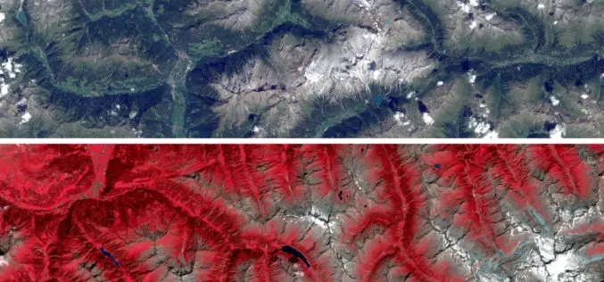
Sentinel Imagery Now Works Inside ArcGIS
Redlands, California—Esri enhanced its ArcGIS technology to simplify the use of free global imagery from the Sentinel-2 satellite launched by the European Space Agency. ArcGIS supports visualization, interpretation, and analysis
