
Tag "UAV"

UAV can be Effectively Used in Disaster Management: NDMA
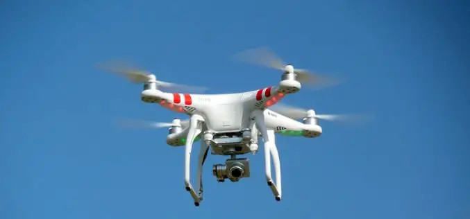
New Delhi, Nov 7, 2017 (PTI) – Unmanned aerial vehicles (UAVs) can be effectively used in disaster management, the National Disaster Management Authority (NDMA) today said. “UAVs can provide high-resolution,
Government of India Issues Draft Norms For Using Drones
New Delhi, Nov 1 (PTI) – After long drawn discussions, the civil aviation ministry today unveiled draft norms for operating drones for civilian purposes in the country. The Unmanned Aerial
Calspan Invests in the Future of Drone Technology
Adding another aircraft to an ever-growing fleet allows Calspan to better address the needs of an evolving customer base. Buffalo, New York – October 31, 2017 – Calspan is pleased to
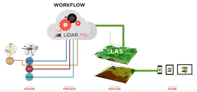
Phoenix LiDAR Unveils LiDAR Mill, the First Cloud-Based Post-Processing Platform
Cloud-based LiDAR platform automates trajectory processing, making the technology more affordable and accessible LOS ANGELES, CA (PRWEB) OCTOBER 26, 2017 – Addressing a major opportunity in the LiDAR industry, Phoenix LiDAR Systems

Velodyne LiDAR Partners with YellowScan for Integrated LiDAR for UAVs
YellowScan to leverage Velodyne’s lightweight VLP-16 Puck LiDAR sensors for its advanced aerial Surveyor LiDAR system October 26, 2017 – SAN JOSE, Calif.–(BUSINESS WIRE)–Velodyne LiDAR Inc., the world leader in 3D
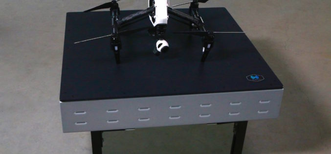
WiBotic Announces WiBotic PowerPad, the First Autonomous Wireless Charging Pad for Drones
New Wireless Charging Pad is Perfect for Mounting on Rooftops and Other Elevated Outdoor Structures; or Indoors for Drones Used in Factory or Inventory Management Seattle, WA—October 18, 2017—WiBotic, a
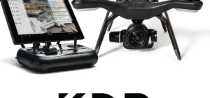
Register for the 3DR Site Scan Training Webinar
Join 3DR for the Site Scan Manager Training Webinar on Wednesday, October 11th, at 10:00 am PDT (convert to your timezone) 3D Robotics is an American company headquartered in Berkeley, California that provides enterprise

Trimble GNSS Smart Target Base Station Provides Simplified Map Production from UAVs
High-Performance GNSS Reference Station and Ground Control in One Easy-to-Deploy Package BERLIN, Sept. 26, 2017—Trimble (NASDAQ: TRMB) announced today the release of the Trimble® GNSS Smart Target Base Station for
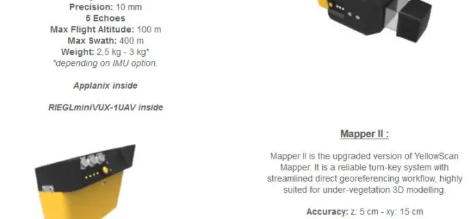
YellowScan Unveils Its Next Generation UAV-LiDAR Systems
Montpellier, 21 September 2017 – YellowScan is committed to provide the most reliable integrated imaging systems and customer support for demanding UAV applications. Since 2012, the team’s dedication to fulfill high resolution and high-quality survey
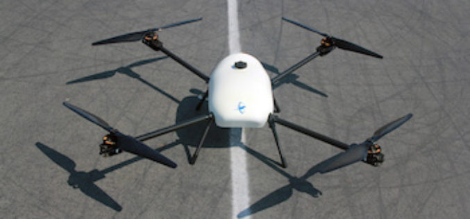
Skyfront Sets World Record for Drones with 4 Hour and 34 Minute Flight
Skyfront invents hybrid-electric drone technologies to enable monitoring of large, remote assets in challenging terrain for the Utility, Agriculture and Energy industries. MENLO PARK, CA, SEPT. 12, 2017 – Skyfront,
