
Tag "UAV"
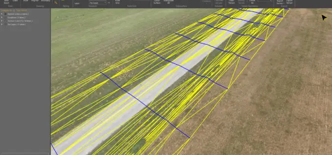
Virtual Surveyor 6.1 Handles More Than Drone Data
Saves Time and Money on Extra SW LEUVEN, Belgium, 13 November 2018 – Virtual Surveyor, the popular drone surveying software, has eliminated the need for clients to use third-party applications
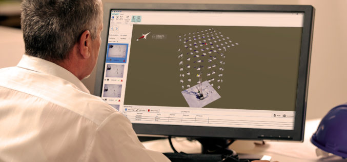
Topcon Introduces New Software for UAV Inspection Applications
LIVERMORE, Calif., U.S./ CAPELLE A/D IJSSEL, the Netherlands – August 30, 2018 – Topcon Positioning Group announces new software designed to facilitate data processing workflow for UAV (unmanned aerial vehicle) infrastructure
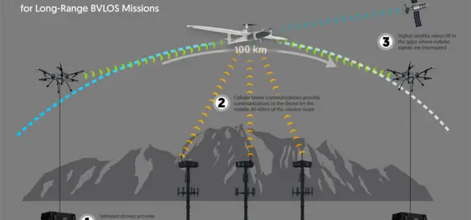
Kongsberg Geospatial Airspace Awareness Software to be used by 3 of the 4 Teams Selected by Transport Canada for BVLOS Flight Trials in Canada
Ottawa, CA, June 12, 2018 – Kongsberg Geospatial Ltd., an Ottawa-based geospatial and Air Traffic Management visualisation software company announced today that its IRIS technology will be used by three

SimActive Software for Precision Agriculture in Brazil
June 12, 2018 – SimActive Inc. is proud to announce use of its software for precision agriculture in Brazil by Portal Produtos Agropecuários Ltda (Portal). Drone data is transformed into
Headwall Integrates Hyperspectral and LiDAR Aboard UAV Platforms
Enabling Remote Sensing Capabilities From Civil Infrastructure Inspection to Crop Monitoring BOLTON, MA, JUNE 11 – Headwall has introduced advanced sensor payloads consisting of hyperspectral sensors and LIDAR for deployment
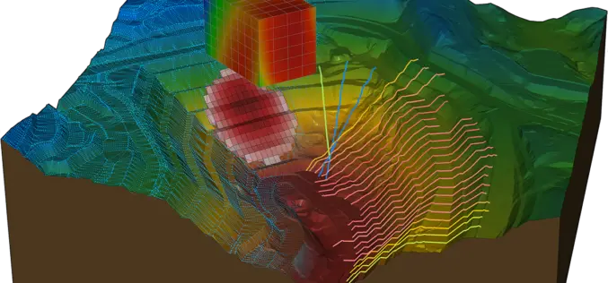
Bentley Systems Acquires Plaxis, and Complementary SoilVision, to Integrate Geotechnical Engineering within Digital Workflows for Infrastructure Projects
Comprehensive modeling environment now spans geo-structural and geo-environmental collaboration EXTON, Pa. – April 26, 2018 – Bentley Systems, Incorporated, a leading global provider of comprehensive software solutions for advancing infrastructure, today announced the acquisition
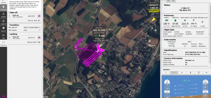
senseFly takes drone flight planning & management to next level with release of eMotion 3.5
The company’s acclaimed software—supplied with every senseFly drone—now includes CN and ES language support, integration with Agisoft PhotoScan, improved resume mission functionality and a new live air traffic data option

India Fastest Growing Market for UAVs; To Touch $886 mn by 2021
New Delhi, Mar 26 (PTI) India is one of the fastest-growing markets for unmanned aerial vehicles (UAVs), and one of the top UAV importers for military purposes worldwide, says a
AirGon LLC Appointed North American Distributor for YellowScan Drone LiDAR Systems
Montpellier, February 13, 2018 – AirGon LLC, a wholly owned subsidiary of GeoCue Group Inc., has been appointed the North American Distributor for YellowScan based in Montpellier, France. Under the agreement, AirGon
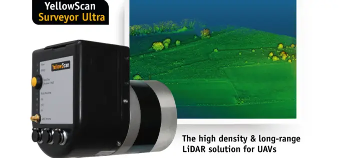
YellowScan Unveils Its New UAV-LiDAR System
Montpellier, 5 February 2018 – The Surveyor Ultra is the new system from YellowScan, integrating the Velodyne VLP-32C scanner & the Applanix APX-15 IMU. Thanks to its high-density (600 000 shots per second), the
