The Impact of Climate Change is Being Researched using AI by IBM and NASA
IBM and NASA’s Marshall Space Flight Center have recently announced a partnership to employ IBM’s artificial intelligence (AI) technology to unearth new insights in NASA’s huge repository of Earth and geospatial science data. For the first time, the collaborative endeavor will apply AI foundation model technology to NASA’s Earth-observing satellite data.
Climate change is creating more of the heat and drought that fuel wildfires. How will the smoke impact air quality? How will the searing heat waves of the past year impact corn and wheat yields?
The goal of the collaboration is to create adjustable, reusable foundation models that make it easier to mine enormous datasets for new knowledge, hence advancing science and assisting humans in adapting to a changing environment.
NASA and IBM will develop AI foundation models for analyzing petabytes of text and remote sensing data, making it easier to construct AI applications tailored to specific inquiries and tasks.
Foundation models consume enormous volumes of raw data and, with no explicit guidance, determine their underlying structure. Pre-train a foundation model, and you can teach it an entirely new task with a small collection of hand-labeled samples. Traditionally, one of the primary barriers to applying machine learning to remote sensing data was a lack of training examples — things like trees and crops in satellite data split and labelled by human experts so the computer knows which attributes to focus on.
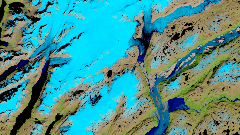
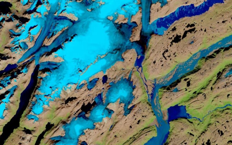
The recent introduction of transformer-based models may help to remove this impediment. NASA already has 70 petabytes of earth science data, which is expected to triple with the recent launch of its Surface Water and Ocean Topography (SWOT) mission and the 2024 launch of NISAR.
Two foundation models will be built by IBM and NASA. The first will be trained on reams of earth scientific publications to organise the content thematically and make it easier to look for and uncover new knowledge. The second model will be trained using the popular Harmonized Landsat Sentinel-2 (HLS) dataset from the USGS and NASA, which is a record of land-use changes acquired by Earth-orbiting satellites. For natural resource management, downstream uses include recognising natural risks and tracking changes in vegetation and wildlife habitat.
Source: IBM
Also Read – Geospatial Technology to Mitigate the Impact of Flooding