
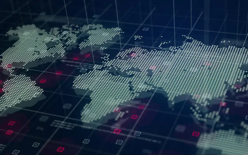
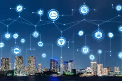
Anyone who is reading this technical journal would be aware of the terms ‘data’, ‘geospatial data’, ‘information’ and ‘geospatial information’ and the context in which the terms are being used. In this world of ours, where something is always happening somewhere, the importance of Geospatial data becomes more relevant.
In an earlier issue of this technical journal where the need and use of Geospatial Technologies for the planning of a smart city were discussed, it can be easily appreciated that a smart city constantly generates a lot of data like built-up area, roads, population, socio-economic indicators, weather, pollution, green cover, etc.. Left to themselves, the data give vital inputs to the planner who incorporates them in the planning of a smart city. However, when the data are taken together, combined, and processed, we arrive at Geospatial information that gives a whole new perspective to the planner or decision-maker.
The COVID-19 pandemic is generating huge amounts of Geospatial data. This data is being processed in near real time and on a daily basis to generate Geospatial information that enables planners and decision makers to arrive at best practices to control the spread of the pandemic and to provide succour to the sick.
The above are just a few examples where Geospatial data has generated Geospatial information that has been put to use for planning. Geospatial data spans across many domains, disciplines and times. Geospatial technologies have evolved to a stage where it is just not about data but about getting to understand this data to arrive at information that is vital for planning and sustainable development. The latest Geospatial Technologies include data generation technologies which seamlessly dovetail into powerful hardware and software that is entirely devoted to processing the Geospatial data in order to arrive at vital, critical and timely Geospatial information.
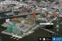
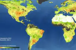
Visualisation techniques have added another dimension to Geospatial Technologies that aid the planner or decision maker in understanding the Geospatial information by visualising the impact of different parameters and time on the Geospatial information. This aids the planner or the decision maker to get a holistic view and make better sense of the information in order to arrive at the best possible scenarios that will impact human wellbeing and progress.
Every day huge amounts of Geospatial data is being generated. Geospatial technologies and visualisation techniques now harness this data effectively, efficiently and in a timely manner to extract actionable information for a better planning process.


We are in an era in which the amount of quality geospatial information, both real-time and delayed, is enormous. However, in practice, many of the opportunities offered by this information are not being used or leveraged in the most optimal way.
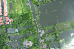
The closest example is natural disasters such as floods and fires. Every day, we encounter news across the globe related to deaths caused by these events, such as the recent floods in Argentina and Spain. In these cases, there was insufficient advance warning to the population, and the alarm systems that would have helped evacuate people who were in the floodwaters’ area of influence were inoperative. In these cases, the technical resources (Copernicus Services) were available, but unfortunately, the images are useless if there is no dedicated team of people dedicated to their exploitation and analysis. I believe this is a point that is repeated in many other examples, and is relevant to your reflection: the need to establish a team of expert and qualified technicians to be able to correctly exploit the images and use them to alert the population in the event of natural disasters.