Customers Can Create and Share VR Experiences for Urban Planning
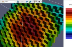
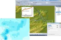
Global smart-mapping leader Esri today announced a virtual reality (VR) solution for CityEngine, the company’s award-winning 3D modeling software.
The newest version of CityEngine allows urban planners, architects, and GIS professionals to simply and quickly create VR experiences on mobile devices. These experiences can be viewed in the free ArcGIS 360 VR app from Esri Labs. Users can immerse themselves into 3D scenes by teleporting to static viewpoints and comparing different urban planning scenarios.

Credit: Esri
“We are pleased to see Esri add a mobile VR solution to its 3D smart city platform,” said Christian Huerzeler, project manager at the department of urban planning in Zurich. “By using ArcGIS 360 VR, our planning board and jurors can now study the impact of new architectural developments and urban planning scenarios from the perspective of pedestrians and citizens.”
Now, rather than relying on high-performance graphics computers and cumbersome wired VR accessories, having a simple smartphone paired with an affordable wireless headset is all that is required to be immersed in a VR experience.
“We greatly simplified the creation and sharing of the mobile VR experience,” said Dominik Tarolli, head of 3D geodesign at Esri. “In a matter of minutes, a CityEngine user can now create a VR experience out of a 3D scene and share it in ArcGIS Online, Esri’s cloud solution.”
CityEngine comes with many new additional features including an OpenStreetMap-ready rule set.
Learn more and try CityEngine for free for 30 days.