Tag "BeiDou"

Back to homepage
Featured Article Global Positioning System

Understanding China’s BeiDou-Only Mandate: Strategic and Global Implications

According to recent news by MSN, China is launching a new campaign to crack down on the theft of sensitive geographical data by foreign powers with its BeiDou-only mandate, the

Business

Swift ​​Navigation ​​Announces Full BeiDou and Galileo Support for ​​Piksi Multi

Firmware Release 2.0 Makes Swift’s Centimeter-Accurate GNSS Technology Feature Complete, Supporting All Major Global Satellite Constellations San Francisco, CA—August 21, 2018—Swift Navigation, a San Francisco-based tech firm building centimeter-accurate GNSS

Business

Hexagon Positioning Intelligence Introduces PIM7500 for Autonomous Applications

Bertrandt selects the PIM7500, seen as the “Perfect Fit”, to integrate into their platform to power an autonomous commuter bus. Calgary, Canada – 24 May 2018 – Hexagon’s Positioning Intelligence division is

Business

Hemisphere GNSS Announces New Atlas®-Capable, Multi-GNSS Vector™ V123 & V133 Smart Antennas

LONDON, UK – March 14, 2018 – Today from the Oceanology International exhibition and conference in London, UK, Hemisphere GNSS announces the new single-frequency, multi-GNSS Vector V123 and V133 all-in-one

Global Positioning System

Launch of China’s New-Generation Beidou-3 Navigation Satellites

November 5, 2017  – According to recent news, China has successfully launched two navigation satellites – namely the Beidou-3M1 (Beidou-24) and Beidou-3M2 (Beidou-25) navigation satellite using a Long March-3B/YZ-1 rocket. The satellites are

Business Software

Leica Geosystems’ GNSS Networks Now Support Galileo, QZSS

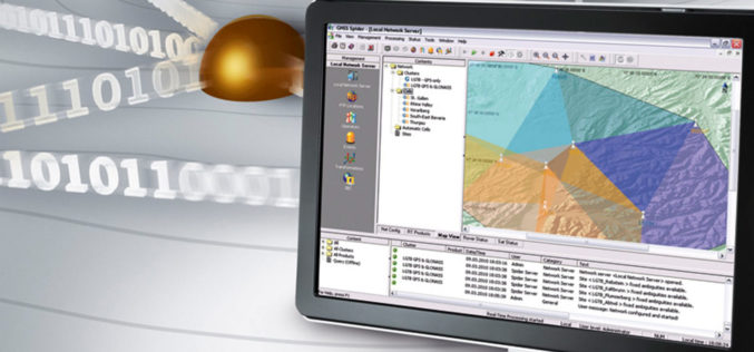
(Heerbrugg, Switzerland, 16 June 2017) Leica Geosystems, industry leader in measurement technology, released Leica Spider v7.0 software suite, supporting Galileo and QZSS constellations as well as the GPS-L5 signal for

Business

Trimble Incorporates Galileo Support in New Version of its GNSS Infrastructure Management Software

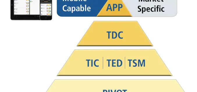
Delivering Higher-Accuracy Positioning To Improve GNSS Network Performance and Reliability SUNNYVALE, Calif., March 27, 2017—Trimble (NASDAQ: TRMB) introduced today version 3.10 of its Trimble® Pivot™ Platform software, a modular solution

GIS

China to Set Up 3 Civil Satellite Systems By 2020

BEIJING – China aims to finish building satellite systems for remote sensing, communications and navigation before 2020. The three satellite systems should be able to provide continuous and stable service,

Global Positioning System

China Launches 2 Satellites to Build Homegrown Satellite Navigation System

BEIJING:  China launched two new satellites into space Saturday, state media reported, as it builds a homegrown satellite navigation system to rival the US’s Global Positioning System. A rocket carrying the

Global Positioning System

India’s Own Satellite Navigation System – IRNSS

Submitted by: A satellite navigation system is a system of satellites that provide location (longitude, latitude, and altitude) to high precision (within a few metres) with small electronic receivers. The electronic receivers calculate the current local time to high