NAKSHA Capacity Building Enters Second Phase to Modernise Urban Land Surveys
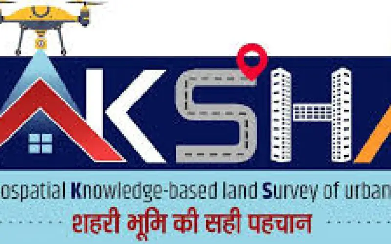
The Ministry of Rural Development’s Department of Land Resources (DoLR) has initiated the second phase of the NAKSHA (NAtional geospatial Knowledge-based land Survey of urban HAbitations) capacity-building program, commencing on June 2, 2025.
This phase involves training 304 officers from 157 Urban Local Bodies (ULBs) across 27 states and 3 Union Territories, focusing on modern geospatial technologies for urban property surveys.
The training is being conducted at five Centres of Excellence:
- Lal Bahadur Shastri National Academy of Administration (LBSNAA), Mussoorie, Uttarakhand
- Yashwantrao Chavan Academy of Development Administration (YASHADA), Pune, Maharashtra
- Northeast Region Centre of Excellence, Guwahati, Assam
- Mahatma Gandhi State Institute of Public Administration (MGSIPA), Chandigarh, Punjab
- Administrative Training Institute (ATI), Mysuru, Karnataka
Also Read – NAKSHA Project to Revolutionize Urban Land Surveys in India
The program was virtually inaugurated by Shri Manoj Joshi, Secretary, DoLR, on June 2, 2025. Participants will receive hands-on training in GNSS and ETS-based surveying, Web-GIS applications, land parcel mapping, and understanding the legal-administrative aspects of land surveys.
NAKSHA aims to modernize urban land records, addressing the anticipated growth of India’s urban population, expected to exceed 600 million by 2031. By leveraging advanced geospatial technologies, the program seeks to create accurate, verifiable, and accessible land records, thereby enhancing transparency, reducing disputes, and facilitating urban planning.
The first phase of NAKSHA, completed in May 2025, trained 160 master trainers from participating states and UTs. The program is implemented in collaboration with the Survey of India, NICSI, MPSeDC, and the five Centres of Excellence.
For more information, visit the official press release: PIB Press Release.