
Archive
Featured Article
GIS
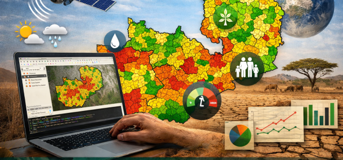
Open-Source Geospatial Framework for Drought Risk Mapping in Zambia
Recurrent droughts continue to pose a significant threat to Zambia’s agricultural productivity, water resources, and socio-economic stability. The increasing variability of rainfall patterns across southern Africa has intensified the need
