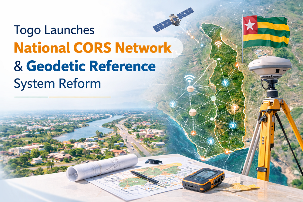
Togo Launches National CORS Network and Geodetic Reference System to Standardise Spatial Data
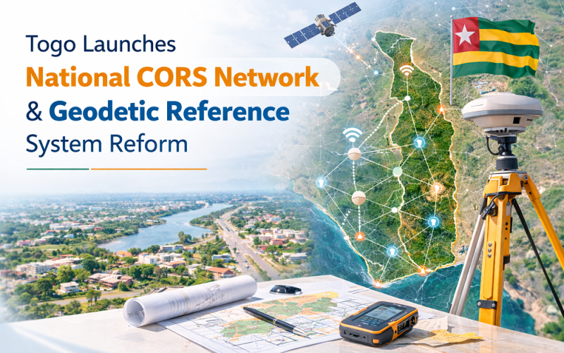
The Government of Togo announced on 9 March 2026 a comprehensive reform of its national geodetic reference system, including the installation of a nationwide CORS network and the establishment of standardised geodetic benchmarks across the country. The initiative, unveiled by the Ministers of Finance and Territorial Planning, mandates that all spatial data produced in the fields of cartography, land management, urban planning, topography, and infrastructure development must be referenced to the new official coordinate system.
Background: Geospatial Infrastructure Reform in West Africa
Many countries in sub-Saharan Africa have historically relied on legacy colonial-era geodetic datums — such as the Clarke 1880 ellipsoid and the Abidjan datum — which are poorly aligned with modern geocentric
Technical Framework: CORS Network and Geodetic Benchmarks
Continuously Operating Reference Stations (CORS)
A CORS network consists of permanently installed multi-constellation GNSS receivers at precisely surveyed locations that continuously record satellite observation data. These stations serve as the backbone of a country’s precise positioning infrastructure, enabling differential GNSS corrections for surveyors, engineers, and spatial data professionals to achieve centimetre-level positioning accuracy across the country. CORS stations broadcast real-time correction data supporting Network RTK (Real-Time Kinematic) positioning, dramatically reducing the cost and time of high-precision field surveys.
Also Read – What is a Virtual Reference Station
Levelling Benchmarks and Vertical Reference
Alongside the CORS network, Togo’s reform includes installation of geodetic levelling benchmarks to establish a national vertical datum — a consistent reference for elevation measurements used in flood risk mapping, infrastructure design, drainage planning, and digital elevation model (DEM) production. An accurate vertical datum is particularly critical for coastal nations like Togo, which faces sea level rise risks along its Gulf of Guinea coastline.
Scope of Implementation
The reforms apply to all professionals operating in cartography, topography, land registry, urban planning, territorial development, and infrastructure construction within Togo’s territory. The two ministers stated that any spatial work not tied to the official reference systems risks formal rejection by government authorities. In the longer term, the standardised reference framework will improve cross-sector GIS data compatibility, facilitate urban planning in fast-growing cities such as Lomé, and support interoperability with regional and international spatial data platforms.
Applications and Regional Significance of CORS Network
Access to a national CORS network opens opportunities for precision agriculture, cadastral survey, infrastructure monitoring, and land titling reform — all areas where reliable spatial data has historically been a limiting factor in West African development. It also enables the public and private sectors to adopt real-time kinematic GNSS surveying at a fraction of traditional costs, accelerating the delivery of spatial data for urban expansion planning and disaster risk reduction.
Conclusion
Togo’s geodetic reference system reform represents an important step in building the spatial data infrastructure that modern governance and economic development require. As the country installs its CORS network and levelling benchmarks, it joins a growing number of African nations investing in the geodetic foundations that make reliable GIS, precision surveying, and satellite navigation possible.
References
1. Ecofin Agency (2026, March 9). Togo Standardises Geographic Reference Systems to Improve Land and Urban Planning. https://www.ecofinagency.com
2. Togo First (2026, March 9). Togo Moves to Standardise Geographic Coordinates for Mapping and Urban Planning. https://www.togofirst.com
3. African Union / AFREF. African Geodetic Reference Frame Documentation. https://www.afref.org