

Posts From GIS Resources
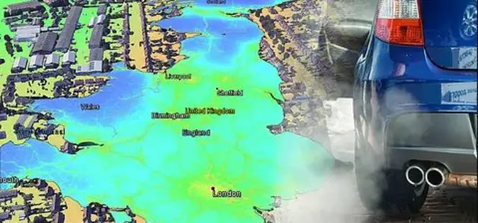
EarthSense Release New Nationwide Map of Air Pollution. MappAir
November 29, 2017 – EarthSense Systems has published MappAir® – the first ever high resolution nationwide map of air pollution. Combining data from satellites and its own air quality monitoring sensors

NovAtel’s GPS Anti-Jam Technology Selected for the United Kingdom’s Type 26 Frigate
Calgary, Canada, November 29, 2017 – NovAtel® announced today that its GPS Anti-Jam Technology (GAJT®) has been selected for the United Kingdom’s Type 26 Frigates to meet a requirement as part
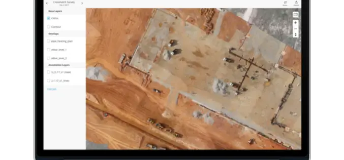
3DR Webinar: Site Scan Manager Training Webinar
3DR: Site Scan Manager Training Webinar December 6th, at 10:00 AM PT (convert to your timezone) With 3DR continuation to make improvements to Site Scan, the webinar will help you become more

Top 5 GIS Trends for 2018
Contributed By: You’re reading this because seamlessly integrating Geographical Information Systems (GIS) into your company’s IT infrastructure including SAP is crucial. Challenges you’re grappling with probably include absorbing tech upgrades

LISTECH Releases New Upgrade for Geospatial Software Neo
Melbourne, Australia, 28 November 2017 – LISTECH, a world leader in development of smart software solutions for the surveying, civil engineering and land related information industries today announced the latest

Insitu Flies ScanEagle UAS for Disaster Relief and Fire Suppression Missions
COSTA MESA, Calif., November 28, 2017 – Insitu Inc., a wholly-owned subsidiary of The Boeing Company, used its ScanEagle® unmanned aerial system (UAS) in assisting with several recent disaster recovery

SimActive Introduces New Technology for True Orthos
November 28, 2017 – SimActive Inc., a world-leading developer of photogrammetry software, is pleased to announce Correlator3D™ version 7.1 with revolutionary technology for true orthos. Users can now automatically generate enhanced

Microsoft launches Azure Location Based Services for Geospatial Needs Across Industries
Together with an ecosystem of partners, Microsoft’s cloud offers enterprise customers choice and options for using location data to solve issues such as asset location tracking, fleet management and traffic congestion. REDMOND,

Create Photogrammetric Point Cloud Using Global Mapper Pixels-to-Points Tool
Global Mapper LiDAR Module v.19 Now Available with Pixels-to-Points™ Tool for Photogrammetric Point Cloud Creation November 29, 2017 – Blue Marble Geographics is pleased to announce the release of version 19 of the
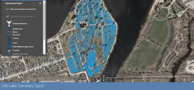
City of Peterborough: New Little Lake Cemetery Launches Web Mapping Application
November 27, 2017, Peterborough, ON, Canada (Media Release) – The City of Peterborough Geomatics/Mapping division and the Heritage Preservation Office are pleased to announce the launch of a new Interactive Web Mapping
