

Posts From GIS Resources
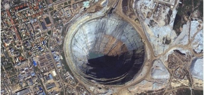
PhotoSat Verifies the Accuracy of Survey Data From the New KOMPSAT-3A Satellite to 21cm in Elevation
VANCOUVER, British Columbia, Oct. 24, 2016 /PRNewswire/ — PhotoSat is pleased to announce that the survey data processed from the new 40 centimeter resolution satellite, KOMPSAT-3A, has been verified as
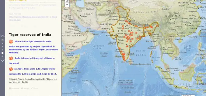
Why should we save Tigers – A Story Map
Contributed By:- The tiger is one of the largest and most awesome predators in the world. This species undoubtedly fascinates every eye it meets. Tiger is solitary and territorial and
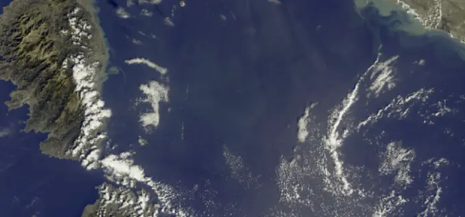
First Earth Colour Data Released by Sentinel-3A
20 October 2016 – The Copernicus Sentinel-3A satellite has taken another step towards being fully ‘operational’ as the first data from its Ocean and Land Colour Instrument are made available
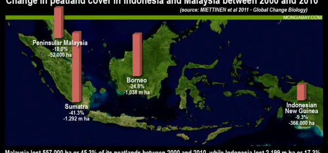
Jakarta Adopted LiDAR To Map and Protect Peatland Forests
According to recent news by The Jakarta Post, the Government of Indonesia has started producing a detailed peatland map using light detection and ranging (LiDAR) technology to better manage the nation’s

Waikato Regional Council, New Zealand Developed GIS-based Innovative Tool for Soil Conservation
New Zealand – An innovative tool to support soil conservation developed by Waikato Regional Council land and soil scientist Dr. Reece Hill made it into the finals of two categories
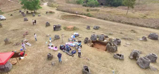
Archaeologists Use Drones to Build 3D Virtual-Reality Map
Archaeologists at The Australian National University (ANU) and Monash University are conducting a trial of new technology to build a 3D virtual-reality map of one of Asia’s most mysterious sites
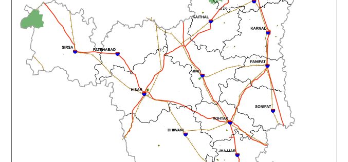
Haryana is Developing GIS-based Digital Map of Forest Areas in the State
According to the recent news, Haryana forest department is using geographic information system (GIS)-based digital mapping of forest areas in the state, this will add better monitoring and conservation of
Mississippi State University Released a New Web Application “GeoDawg” – Bringing Power of GIS to the Public
STARKVILLE, Miss.— The Geosystems Research Institute (GRI) at Mississippi State University has released a new web application, “GeoDawg,” that gives Mississippians the ability to easily use the capabilities of a
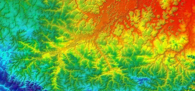
Benefits and Potential of RADAR Satellites: TerraSAR-X and TanDEM-X
The German satellite duo TerraSAR-X and TanDEM-X have consistently delivered one-of-a-kind Earth observation data since 2007 and 2010, hence shaping the international research landscape. TanDEM-X is being implemented on behalf of
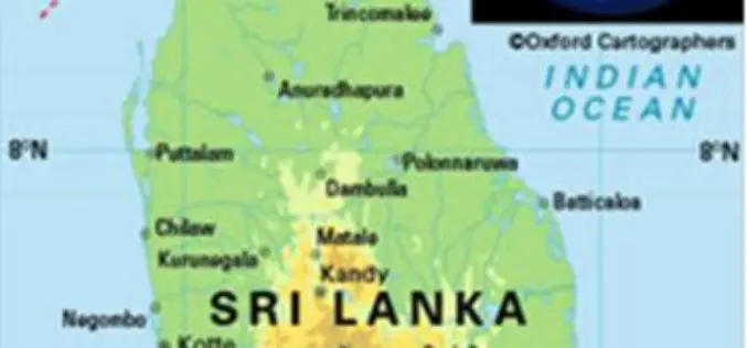
Sri Lanka Setting Up National Spatial Data Infrastructure for Development
According to recent news, Sri Lanka’s Survey Department is setting up national spatial data infrastructure where spatial or location-based information can be better used and shared by both the government
