

Posts From GIS Resources

ISRO, Indian Railways to Sign MoU Over Remote Sensing and GIS
NEW DELHI: Aiming at effective use of space technology in remote sensing and graphic information system (GIS) based applications, Railways is set to join hands with Indian Space Research Organisation

Federal Government Expands UAS Partnerships
The Federal Aviation Administration (FAA) and key government agencies involved in unmanned aircraft operations are expanding participation in the Unmanned Aircraft Systems (UAS) Executive Committee (EXCOM). The committee provides federal
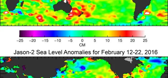
Jason-3 Begins Mapping Oceans
Just over a month after launch, Jason-3, a U.S.-European oceanography satellite mission with NASA participation, has produced its first complete science map of global sea surface height, capturing the current

USGS Partners with European Space Agency to Deliver Copernicus Earth Data
The U.S. Geological Survey and the European Space Agency (ESA) have established an innovative partnership to enable USGS storage and redistribution of Earth observation data acquired by Copernicus program satellites.
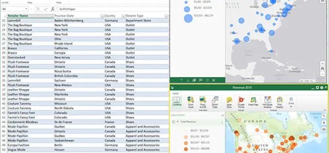
ArcGIS Maps for Office to Brings Mapping Capabilities into Microsoft Excel and Microsoft PowerPoint
ArcGIS Maps for Office, part of the ArcGIS platform, is an add-in for Microsoft Office that brings mapping capabilities into Microsoft Excel and Microsoft PowerPoint. With ArcGIS Maps for Office,

Esri India Webinar: Leveraging ArcGIS Platform & CityEngine for GIS based Master Plans
Esri India Webinar: Leveraging ArcGIS Platform & CityEngine for GIS-based Master Plans Tuesday, March 29, 2016, 1:30 pm Singapore Time (Singapore, GMT+08:00) Sustainable, scalable and future-ready urban development is one the

GIS-enabled Complete List of Indian Fauna Soon: Zoological Survey of India
A simple click of a button will soon tell you which animals live where in India, courtesy a GIS-enabled web-based platform where information on over 96,000 species will be provided

OGC Publishes Testbed 11 Geospatial Information Management Engineering Reports
The OGC Members recently approved release of all the public OGC Engineering Reports that resulted from the 2015 OGC Interoperability Testbed 11. Testbed 11 is the most recently completed of
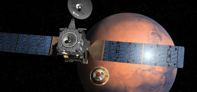
Next Stop, the Red Planet – ExoMars 2016 Launched to Search for Traces of Life
On 14 March 2016 at 10:31 CET, the ExoMars 2016 mission of the European Space Agency, ESA, and the Russian Federal Space Agency, Roscosmos, lifted off from the Russian Cosmodrome
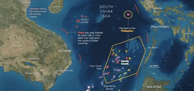
What’s Drives China in the South China Sea? A GEOINT View
Contributed By: The Spratly Islands are a group of more than 750 reefs, islets, atolls, cays and islands in the South China Sea. The history of territorial claim on these
