

Posts From GIS Resources
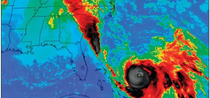
New Maps of 2015 Floods Help S. Carolina Plan for the Future
The U.S. Geological Survey has created 20 new flood inundation maps that can help South Carolinians take steps to prevent or reduce future flood damage in the areas affected by

interaerial SOLUTIONS – Biggest Commercial UAS Event Cleared for Take-off
Karlsruhe, March 14, 2016: The “interaerial SOLUTIONS Expo. Forum. Flight Zone for UAS.” has been cleared for take-off. A dedicated website has been launched for this marketplace for UAS business

Ordnance Survey committed to European Smart City standards
Ordnance Survey is to create a Smart City standards-based technologies business framework for the European Union’s ESPRESSO project. ESPRESSO is being led by the Open Geospatial Consortium, and OS, working closely
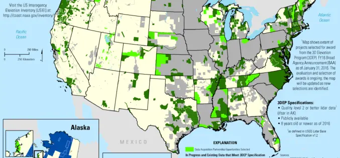
2016 Lidar Partnership Awards Announced
The U.S. Geological Survey has announced the first recipients of the 2016 partnership funding awards for the 3D Elevation Program. This program, referred to as 3DEP, presents a unique opportunity

TerraGo Edge Version 3.9.2 Takes Your Mobile Forms into Warp Drive
Accelerates Inspections, Surveys, Work Orders, Audits, Invoices and More TerraGo Edge helps companies create custom forms for inspections, surveys, work orders, audits and all types of mobile data collection, and

Philippines Launched App to Monitor Protected Area
The Philippines government has launched a Web-based mobile application that would provide accurate information on the status of the country’s protected areas. According to a statement released by the Department
Assessing the Socioeconomic Impact and Value of Open Geospatial Information
Assessing the Socioeconomic Impact and Value of Open Geospatial Information By: Francoise Pearlman, Jay Pearlman, Richard Bernknopf, Andrew Coote, Massimo Craglia, Lawrence Friedl, Jason Gallo,Henry Hertzfeld, Claire Jolly, Molly Macauley, Carl
Iran and APSCO Jointly to Build a Remote Sensing Satellite
According to recent news by the Trend New Agency, Iran and seven member states of the Asia-Pacific Space Cooperation Organization (APSCO) are negotiating to jointly design and build a remote sensing

MYGEOSS – Third Call for Innovative Apps in The Environmental and Social Domains
MYGEOSS is launching an open call for the development of innovative applications (mobile or web-based) using openly available or crowd-generated data in different domains addressing citizens’ needs. The pool of
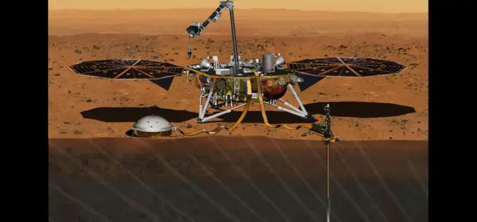
InSight Mission’s Journey to Mars Set For 2018
In December 2015, the Mars mission InSight was put on hold, but it has now been provisionally scheduled to launch to the Red Planet at the next opportunity – in
