

Posts From GIS Resources
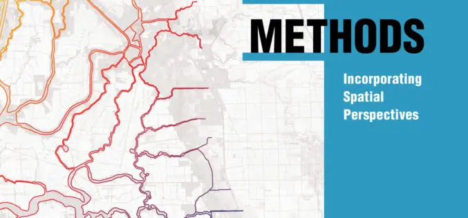
Incorporate Spatial Thinking into Scientific Research
New Book from Esri Teaches Geographic Information System Research Methods Redlands, California—Scientific data that’s spatially analyzed produces highly useful information for academics, scientists, and other researchers, helping them answer questions

81 Villages in Noida To Be Mapped Using Drone
In recent news by ToI, Noida Authority is going to map individual houses of 81 villages in its administrative boundary. Bishanpura village is the first of 81 villages to be

2 PhD Positions in SAR Remote Sensing at the University of Zurich
The University of Zurich is one of the leading research universities in Europe and offers the widest range of study courses in Switzerland. The University of Zurich and Eawag provide generous research support,
Evolve! New Techs for Developer GIS, Meet the Latest SuperGIS Engine 3.3
Supergeo Technologies, the leading global provider of complete GIS software and solutions, officially released SuperGIS Engine 3.3 for global GIS developers to customize GIS applications, meeting diverse demands in various
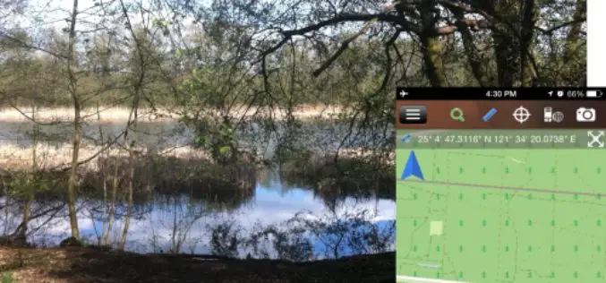
Brandenburg Forest Office, Germany, Select SuperSurv for Forest Conservation
Supergeo Technologies, the leading GIS software and solution provider, announces that Brandenburg Forest Office (Landesbetrieb Forest Brandenburg), Germany has adopted the smart mobile GIS app—SuperSurv to investigate the forest conservation

Open Source Developers Signed a Letter Against Esri Proprietary LiDAR Format – “Optimized LAS”
We, the undersigned, are concerned that the current interoperability between LiDAR applications, through use of the open “LAS” format, is being threatened by ESRI’s introduction and promotion of an alternative

New LASliberator “frees” LiDAR from Closed Format
The latest product by rapidlasso GmbH – creators of LAStools and LASzip – is an open source tool aiming to liberate LiDAR points locked-up in proprietary “Optimized LAS” – a highly controversial, closed LiDAR format. The new LASliberator can

Go from UAS Imagery to Valuable 3D Information with the New Summit UAS OneButton Bundle
Anchorage, Alaska, USA. April 21, 2015 – DAT/EM Systems International and Icaros, Inc. announced the release of a collaborative software solution that processes and analyzes Unmanned Aerial Systems (UAS) data.

NRSC Announces Course on Hyperspectral Remote Sensing
National Remote Sensing Agency (NRSA) was established as a registered society on 2nd September 1974 by Department of Science & Technology, based on a Union Cabinet approval dated December 13,
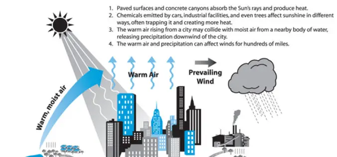
Analysis of the Urban Heat Island Effect in Shijiazhuang, China Using Satellite and Airborne Data
Analysis of the Urban Heat Island Effect in Shijiazhuang, China Using Satellite and Airborne Data – Kai Liu, Hongbo Su, Lifu Zhang, Hang Yang, Renhua Zhang and Xueke Li Abstract: The urban heat island (UHI)
