
Posts From GIS Resources
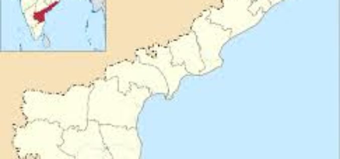
Andhra Pradesh to Initiate HARITA Initiative for Better Planning
Andhra Pradesh government plans to initiate another high-tech initiative called Harmonised Information of Agriculture, Revenue and Irrigation for a Transformation Agenda (HARITA). The initiative aims at creating an information highway in
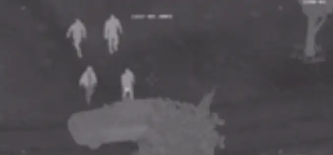
Geospatial Technology in Modern Air Combat Environment
This video demonstrates BSI’s Modern Air Combat Environment (MACE) software. MACE is a full-spectrum CGF/SAF and is accredited for Type I, II and III controls for Joint Terminal Attack Controller
NGA Announces CIA Veteran as Deputy Director
SPRINGFIELD, Virginia — The National Geospatial-Intelligence Agency announced today that Susan M. Gordon, a 34-year veteran of the intelligence community, will become deputy director upon the retirement of Mike Rodrigue,
Battlespace Simulations, Inc. (BSI) Providing Modern Air Combat Environment to U.S. Armed Forces
TatukGIS customer Battlespace Simulations (BSI) is increasingly successful licensing its flagshipModern Air Combat Environment (MACE) to the U.S. Armed Forces for simulated combat training and mission rehearsal. MACE provides computer

Esri Advances Scientific Analysis with SciPy
ArcGIS Programming Library Adds Power to Problem-Solving Redlands, California—Esri announces the integration of SciPy and ArcGIS. Scientists, engineers, and GIS professionals will use SciPy to get more value from ArcGIS
Water Quality Monitoring Using Remote Sensing Measurements
The goal of the NASA Applied Remote SEnsing Training (ARSET) is to increase the utility of NASA earth science and model data for policy makers, regulatory agencies, and other applied
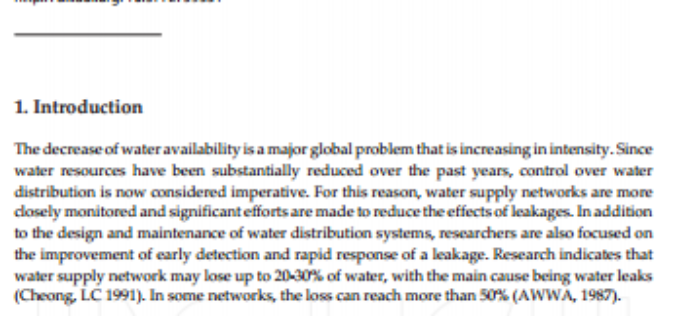
Investigation of Ground Remote Sensing Techniques for Supporting an Early Warning Water-Leakage System
Investigation of Ground Remote Sensing Techniques for Supporting an Early Warning Water-Leakage System Athos Agapiou, Dimitrios D. Alexakis, Kyriacos Themistocleous, Apostolos Sarris,Skevi Perdikou, Chris Clayton and Diofantos G. Hadjimitsis The decrease of water
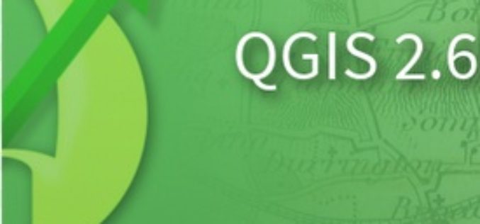
QGIS 2.6 Brighton Has Been Relaesaed
The new version of QGIS 2.6 has been released. QGIS is a free and open source geograaphic information system (GIS). The new version has come up with many
ICPECDM ’14 – International Conference on Challenges in Disaster Management
ICPECDM ’14 – International Conference on Professional Engineers: Challenges in Disaster Management Sponsored by TEQIP-II SC 1.2 18th-19th December 2014 India is one of the most disaster prone countries of
EOI: TCIL – Establishment of Integrated modern control room with GIS and GPS equipment and Vehicle Tracking System at Varanasi
Pre-bid tie-up for Selection of Partner for “Establishment of integrated modern control room with GIS & GPS equipment and vehicle tracking system at Varanasi” TCIL intends to participate in the tender
