

Posts From GIS Resources

RIEGL Presents New Products at INTERGEO 2021
INTERGEO is back LIVE in Hanover this year – and RIEGL presents the latest developments in hardware and software at booth 20C.22 in hall 20 but also digital at the

Avenza Releases Geographic Imager 6.4 for Adobe Photoshop
Avenza Systems Inc., producers of the Avenza Maps ® app for mobile devices and geospatial plugins for Adobe ® Creative Cloud ®, including MAPublisher ® for Adobe Illustrator ®, is

GIS Resources Magazine (Issue 3 | September 2021): Geospatial Technologies for Utilities Mapping & Monitoring
GIS Resources is pleased to announce the release of its 3rd edition (September 2021) of the print and digital magazine. The edition titled “Geospatial Technologies for Utilities Mapping & Monitoring.” Electricity,
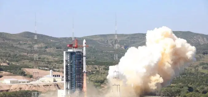
China Launches Hyperspectral Remote Sensing Satellite – Gaofen-5 02
China successfully launched the Gaofen-5 02 into space from the Taiyuan Satellite Launch Center in northern Shanxi Province on September 07, 2021. The satellite was launched using the Long March-4C

New Lemur Release Extends Enterprise Mobile GIS Capabilities
Intuitive Critigen solution delivers enhanced data synchronization, scalability, and security for tens of thousands of field workers Critigen today announced the latest release of Lemur, its mobile GIS solution. Lemur delivers enterprise
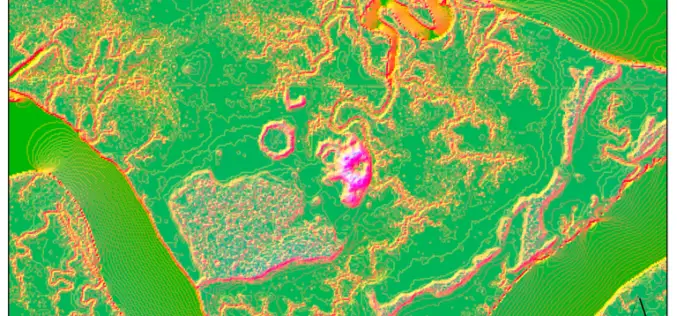
Machine Learning to Discover Shell Rings Using Remote Sensing Data
Deep in the dense coastal forests and marshes of the American Southeast lie shell rings and shell mounds left by Indigenous people 3,000 to 5,000 years ago. Now an international

MapMyIndia Filed DRHP with SEBI for an IPO of Around $175 Million
According to recent news by the Money Control website, an Indian technology company that builds digital map data has filed its draft red herring prospectus (DRHP) documents with SEBI on
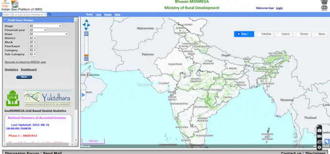
Yuktdhara – New Geospatial Planning Portal for MGNREGA
Recently the Minister of Rural Development and Panchayati Raj Giriraj Singh has launched “Yuktdhara” a new geospatial planning portal to facilitate MGNREGA assets mapping using remote sensing and geographic information
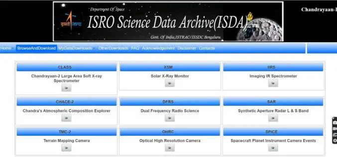
ISRO Inviting Proposals for Utilizing Chandrayaan-2 Data for Scientific Analysis
ISRO has made Chandrayaan-2 Orbiter payloads data available to the public for scientific analysis. The Chandrayaan-2 mission was successfully launched on 22nd July 2019 at 14:43 hrs by GSLV MkIII-M1
IIIT Hyderabad Develops New Low-cost Location Tool to Track Assets
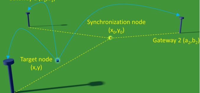
At IIIT Hyderabad researchers have developed a new localization technique that doesn’t use Global Positioning System (GPS) rather uses the Long Range Wide Area Network (LoRaWAN) technology which will provide
